Downloads: GPX File | KML File | Google Maps File | OS online route
About the Long Mynd | Parking Location | OS Map | Current Weather
After previously viasiting the Long Mynd and following a route via the waterfall and round the back end of the hill, we decided to head back over and find out what else there was on offer. The place had really captured our imagination and was a great place to visit. Upon arriving we found the hills covered in snow, and luckily the surrounding roads were clear. We plotted out a big square route which should take in much of the hill as well as allowing us a way down on an area we hadn't visited before.

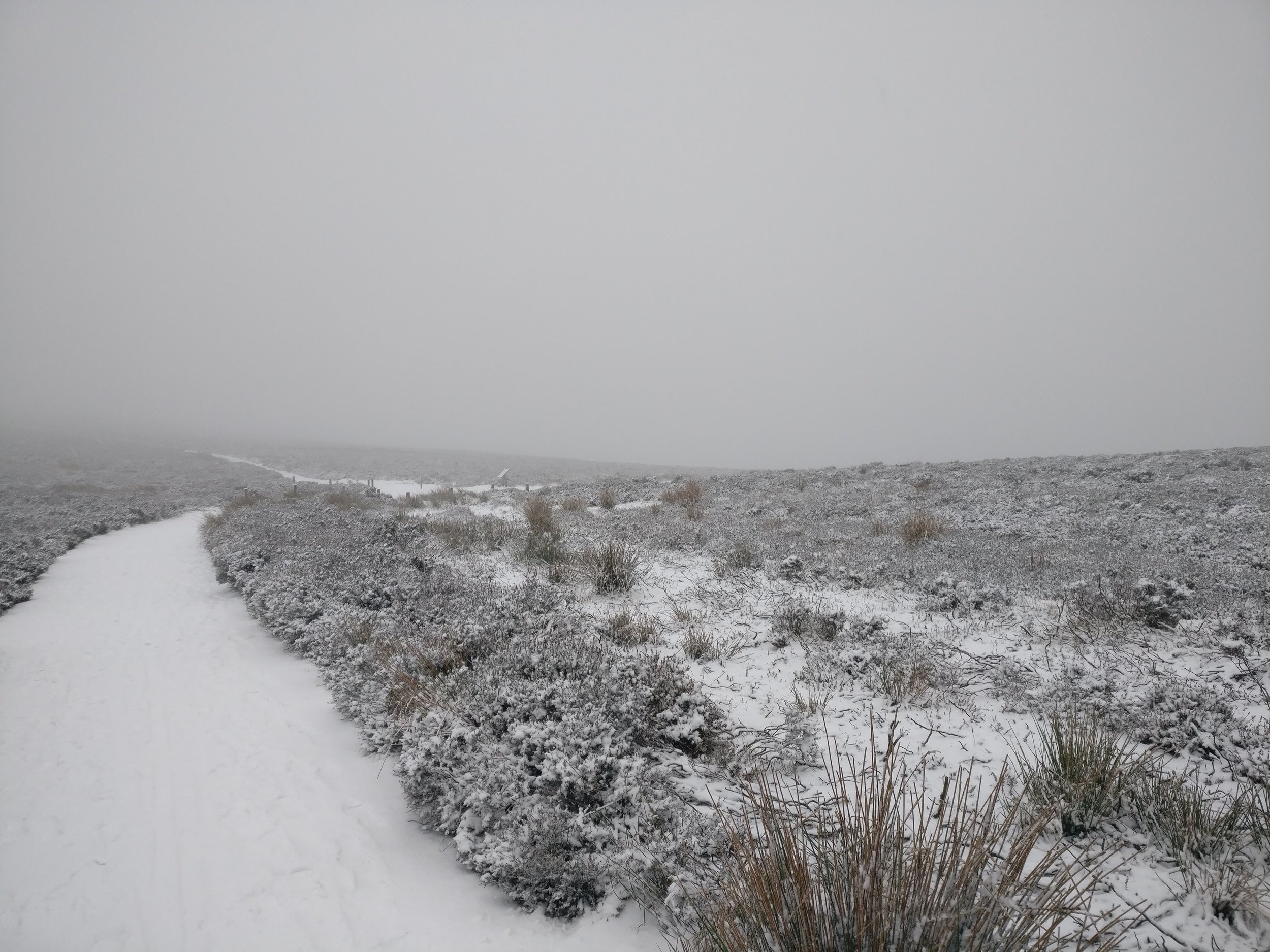
Parking at the National trust car park we headed off out up the standard route all the way to the top, this offers a great valley walk and is very easy to follow. Once at the top, we found ourselves deep in snow, up to our ankles at points! Finding the route however, was still pretty easy as there was heather and bushes lining the path either side, it was case of following the unbroken white line.
Across the top of the hill was relatively flat with only some minor ups and downs, eventually the path leads onto a winder white path and we also passed through a small cordoned off forest. We sat here due to the small amount of shelter to eat our lunch while the snow continued to fall and upon getting up to continue on the cold really hit us, we made sure to get our pace up to warm ourselves back up which we easily did that’s to the terrain being quite flat. We finally made it across to the part of the walk which would head back down into the valley and took a sharp left hand turn down, the going hear again was pretty easy and it wasn't too bad under foot. Eventually the route started to gain a little height again and all of a sudden, we were walking around the hill on the edge of a steep valley, the views were spectacular and everything was covered in the perfectly white snow. Still easy going we passed around the valley and back into the main part of the hill, the opposite side then opened up to another valley, down this valley you could see more of the ground as the snow had begun to thaw and not settle so low.
The last part of the hill down became particularly funny as there was a steep part to the path which neither of us could actually stand up on! Eventually I just ended up running down while Ray laughed at my inability to actually stop myself and took her time with quite a few slips and slides on the way. Eventually at the bottom however, we managed to get out of the snow and onto some stable land. We passed over a brook and followed some lanes down until coming to a stile, we hopped over this and through some access land, where climbing up again we entered another snowy section, this was much easier going and was mostly over fields.
Not far after this, we entered a muddy forest, luckily the mud was frozen over which made it much easier to access down into the village at the bottom. The views again were wonderful here and it gave off a winter wonderland feel. Once onto the street, it was pretty much a U turn to head back off again into another wooded area which eventually lead to an open field, we couldn’t see where the path was at this point due to the snow, so just headed down towards Church Stretton over the grass. Once here we had a little wander through the village and then headed back to the car park.
This walk cemented the area in our minds and it's definitely somewhere we would look at going to again. There is so many routes and so much to see. I also rank this route higher than our previous route.