Downloads: GPX File | KML File | FIT File | Google Maps File | OS Online route
About River Dove | About Tissington Trail
Parking Location | OS Map | Current Weather
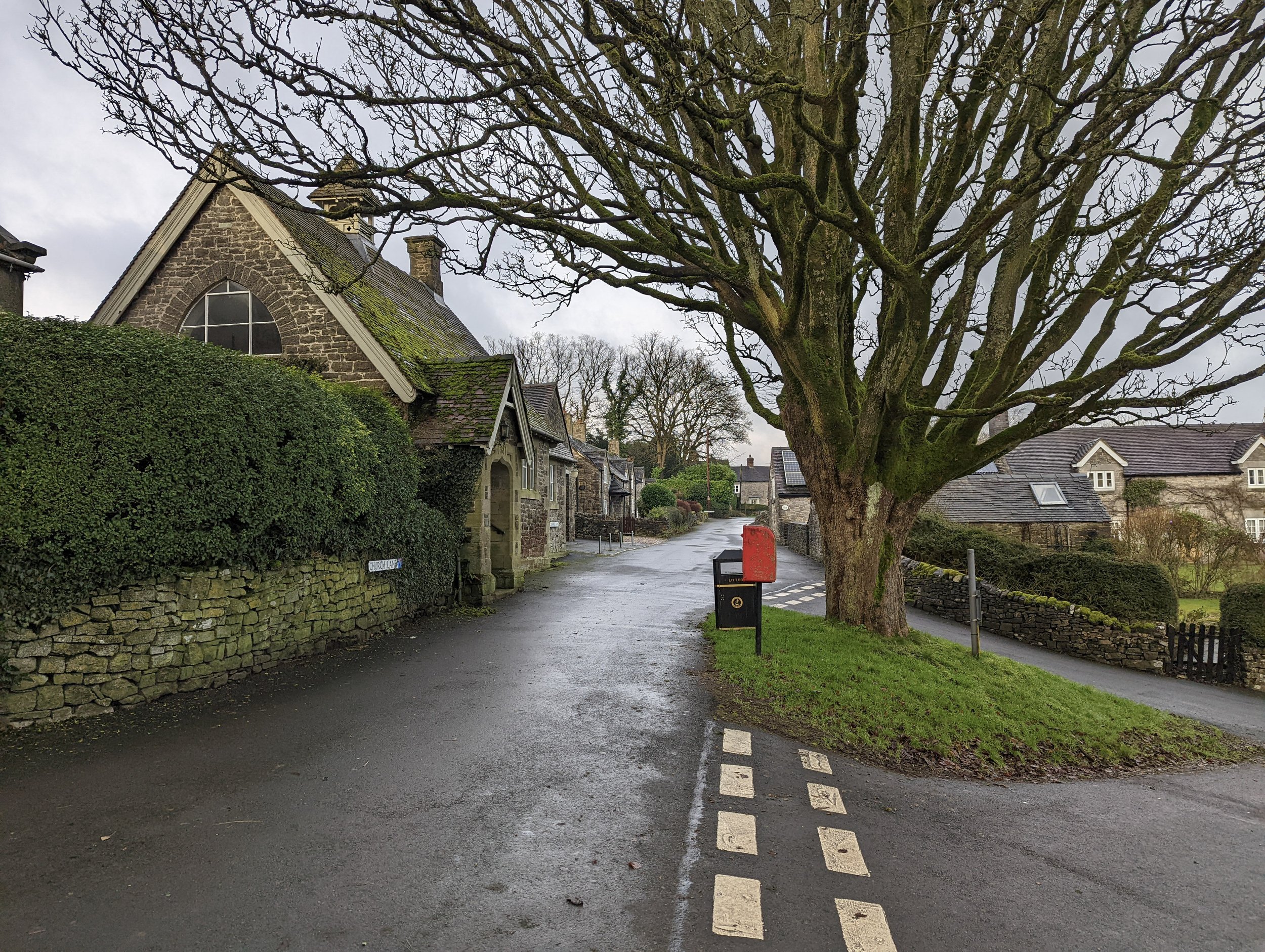
We started this route by heading into Thorpe and connecting briefly with the Limestone Way, before heading past the church and walking until a small path was found just over a stile to our left. This passes over a wide grassy field full of sheep. Here, there were great views of the hills and valleys both in front, and to the sides with a valley that the river Dove had carved away.
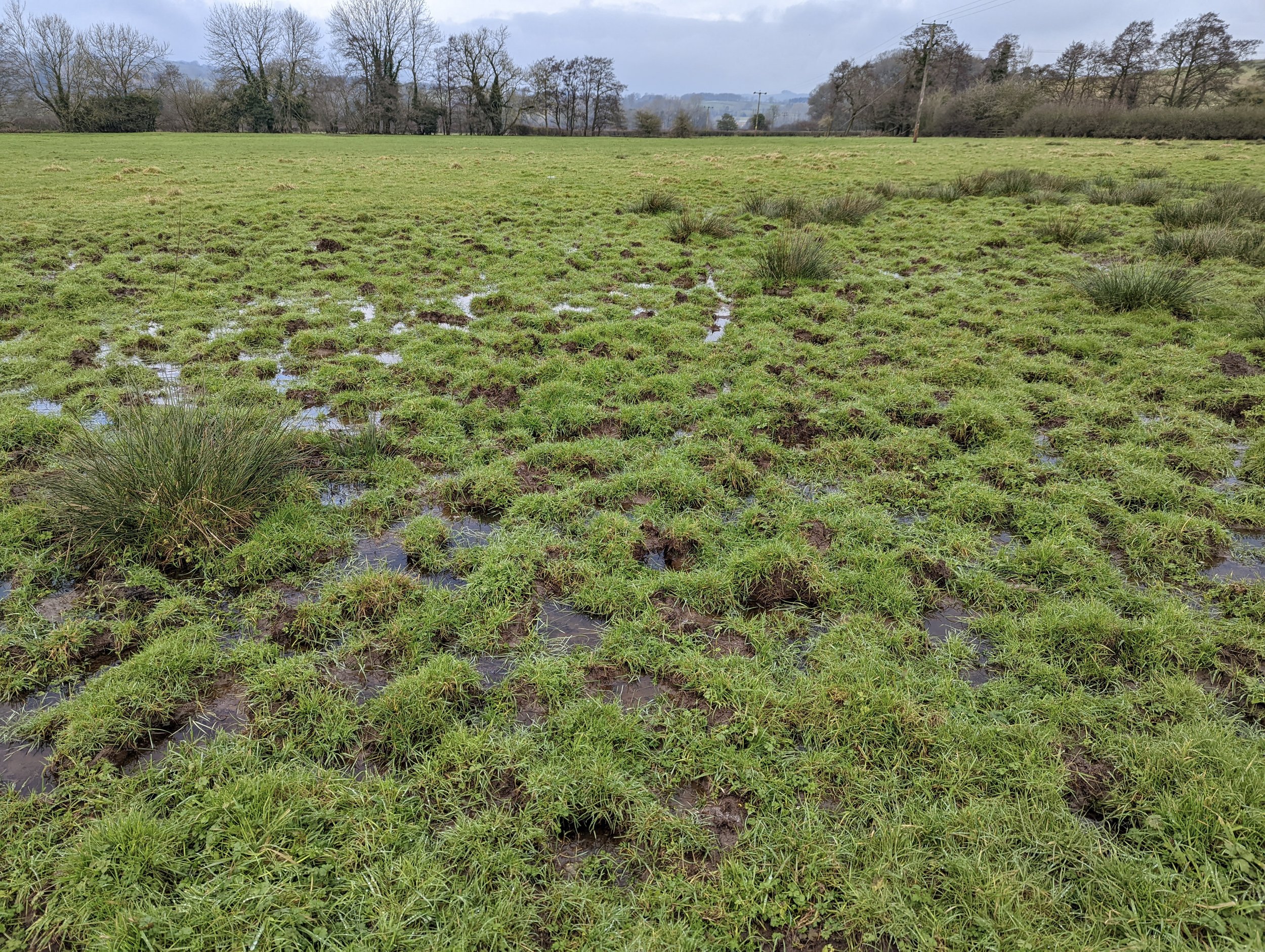
Reaching the bottom and over another stile, we headed into a small wood. This is where the path became very muddy. We had to take our time not to slip down the steep hill. After leaving more than a couple of large slip marks in the mud, we crossed a small wooden bridge, and the river Dove came fully into sight in front of us.
Taking the T junction left, heading over a stile, we found that the incredibly muddy hill was just the start! We had to cross a section of mud that was probably 3-4 inches deep with no real way around (check out the photos if you want to see just how muddy we got!) Once we had trudged our way over the mud patch and tried to clean up on the grass a little, the route became a little firmer.
The path follows alongside the river and is easy to follow without too much change in elevation. Mud continued to be a theme, but I suppose that’s what you get for walking the Peak District in a wet January. We carried on taking this path all the way to some wider fields where we skirted past Mapleton, before swinging back towards the river ...and back onto some muddier paths. Eventually the mud started take its toll and our pace suffered. At least we managed to stay up right! But luckily, things improved not too much further along, as the path made its way around the edge of a farmer's field. The ground here was much more stable and there was plenty to look at as a few birds of prey could be seen flying over the edge of the meadow.
The path begins to head off over Bentley Brook, at which point you can choose to carry following the river Dove to the right, or head left as we did and head towards Ashbourne. The path here is on a bankat the top of a sloping field, this made an awkward traverse, but at least it wasn’t muddy! Towards the end of the field, a small path appears to the right. This takes you directly into the heart of Ashbourne (a beautiful town if you’ve never been!) we followed the main steps down towards St Oswald's Church before swinging into the centre of town. After contemplating grabbing a coffee and cake, we realised that nobody in their right mind would allow our quite unbelievable muddy boots and knees in (no matter what the sign said), we decided to carry on into the heart of the town.
After a little picnic, we made our way to the main carpark and the start of the Tissington Trail. This is the magic part! We lumbered through the 350m brick lined historic train tunnel that runs under houses and roads of Ashbourne. It was surreal, and although not the normal natural view we love, it’s simply stunning. Definitely an experience to tick off if you are in the area. Once through this amazing landmark, the Tissington trail starts up proper. You quickly head down a small hill and over the river again, before the land heads back up. Expect lots of walkers and cyclists here, even in the cooler months. As you can imagine, being a disused railway, it’s flat and very quick. In fact, this whole section of the walk took about half the amount of time than the first and we didn’t even rush. There are some spots of views out, but most of the way you follow the wood lined path under and over tunnels before arriving back at an old train station where we leave the trail and back up to the car.
If you're considering this route, please do you’ll love it! However, I'd definitely recommend doing it in the drier months of the year to avoid the mud bath. Even then, take some gaiters!


