Downloads: GPX File | KML File | Google Maps File | OS Online route
About Baslow Edge | About Eagle Stone | About Curbar Edge | About Hay wood
Parking Location | OS Map | Current Weather
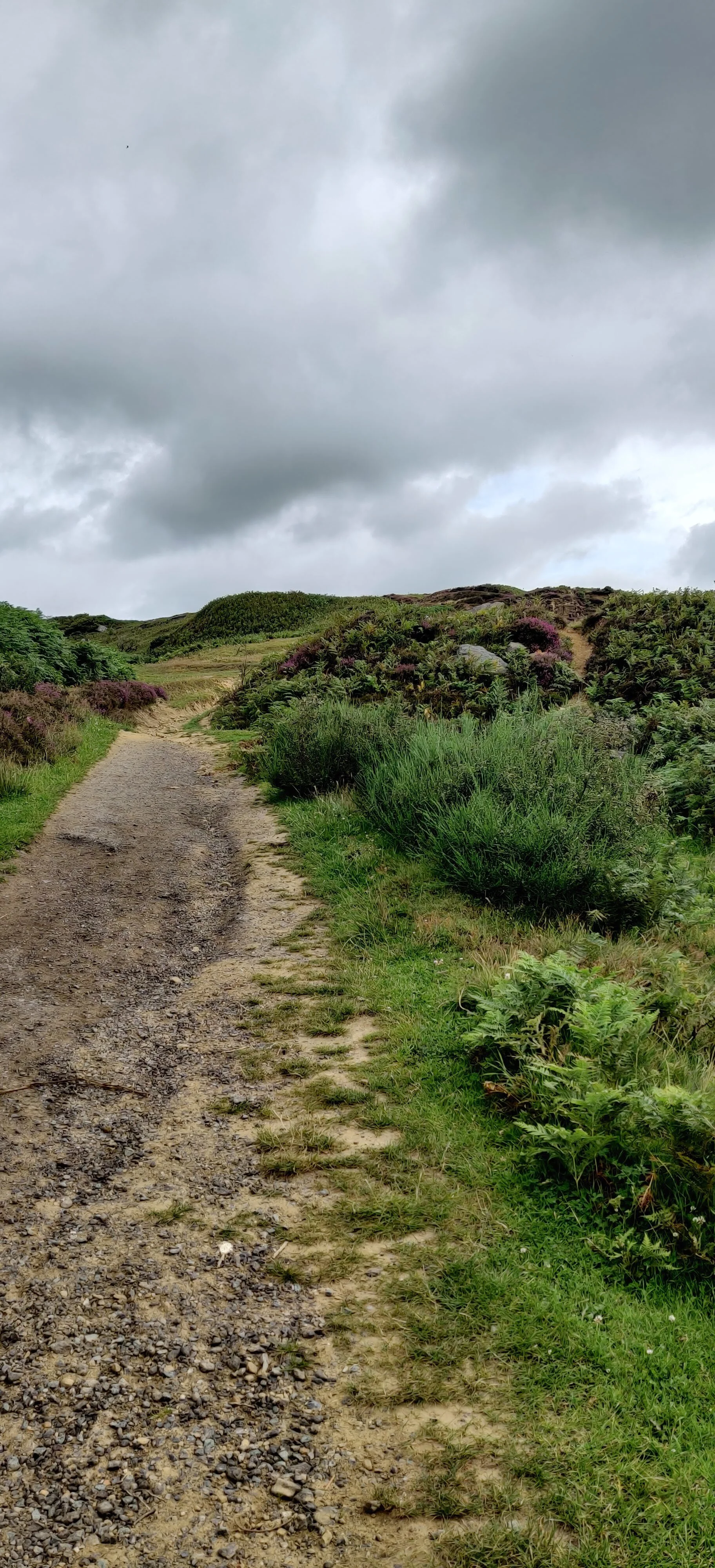
From the car park, we started first walking up Eaton Hill, turning right onto Bar road. Owing to my dislike of walking on narrow country roads, I was pleased to note this road soon became restricted and no cars were allowed except for access. As we steadily gained height, we started to get great views of lower woodland to the right. At the end of Bar road and beyond a style, we found ourselves on a stony path lined with flowering heather. We took the path, veering to the right and then left, on to Eagle stone. In years gone by, this stone was used as a method for young, local men to prove they were fit to marry. They traditionally proved their mettle by climbing to the top.

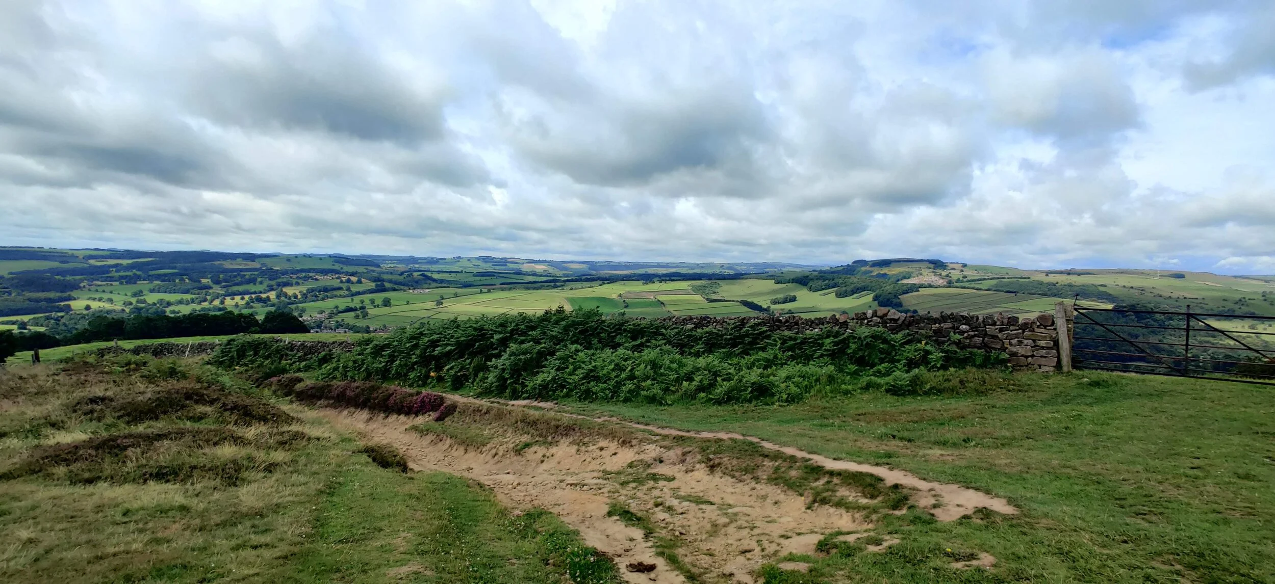
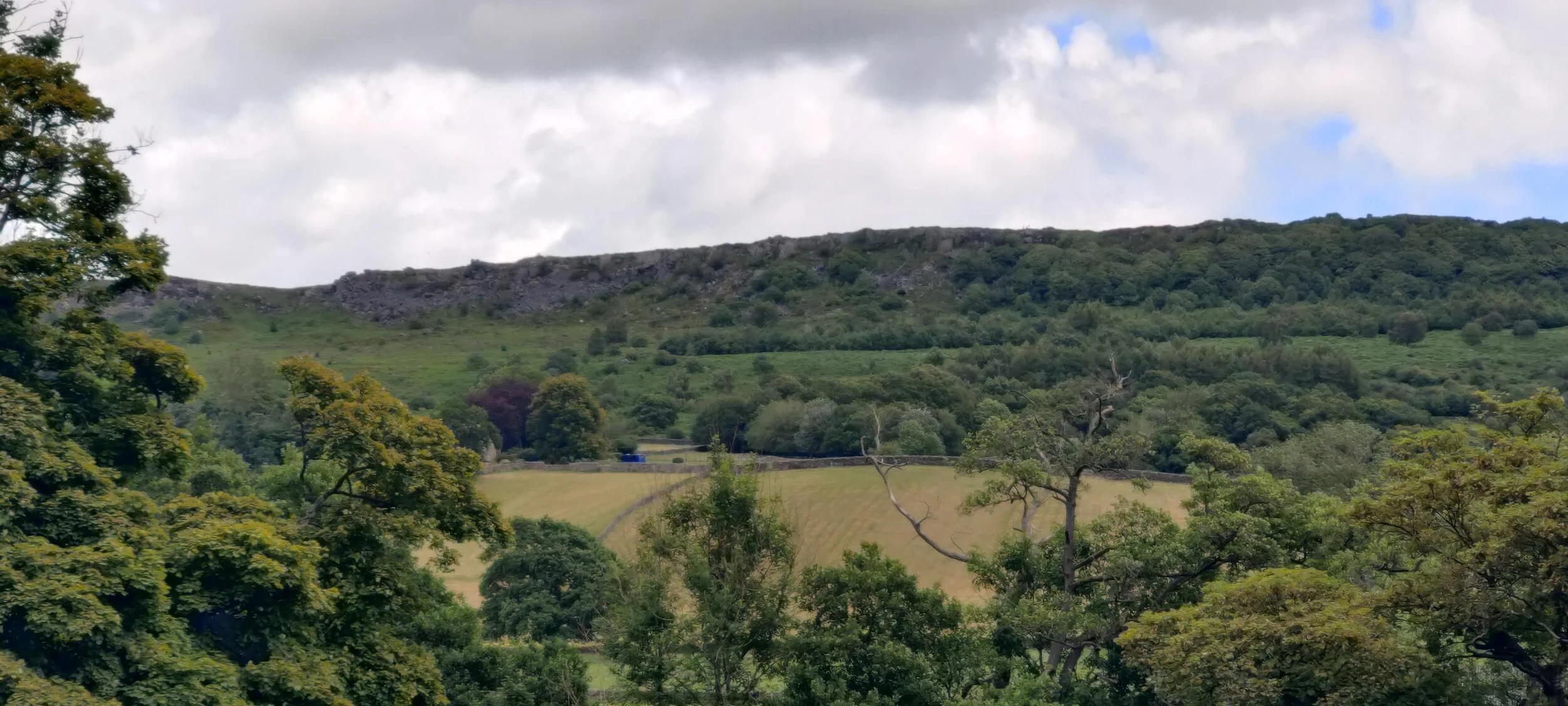
We carried on past Eagle Stone and along Eaglestone flat. At the end of this, we crossed a quiet lane and weaved our way onto Curbar Edge. This area was the most popular part of our walk. There were some incredibly beautiful views. As we walked, we saw below the towns of Curbar and the hills opposite, then Froggatt as we graduated onto Froggatt Edge. After Froggatt edge, the path became more woodlandy until we met a quiet road, which we crossed over. We found ourselves on a little track, traversing a small stream. Here we had a slow decline through Hay Wood and down into Grindleford.
We barely stepped two feet on the pavement at Grindleford before we were back off and onto part of the Derwent Valley Heritage Way. We passed through a meadow down a wide grassy path and over a mini double bridge before entering into woodland again. We passed a few walkers here. Along this trail, we reached a small tributary of the River Derwent. This little brook made a sizeable pool as it intersected the path, before tipping down into the woods. There are some shallow stones made for a crossing and some large rocks. It made a tranquil place to eat our lunch.
From here, we followed a narrow, paved, pleasant path through sheep fields before reaching the scenic and beautiful village of Froggatt.
We crossed Froggatt Bridge, so the river was on our left. The Derwent here is wide and lazy. Tannin tainted brown water drifted slowly, as we walked along paths strewn with dried pine needles. There is also another path on the other side of the river which can turn this particularly scenic stretch of river into small circular walk. Our path took us out onto the A625. Crossing this, we carried on with the path following the river and approaching Calver Weir.
Walking for a while with trees to the right and the river on the left, we eventually cross a large field, walking past a caravan site and onto Old Mile Lane. Here we went through a subway under Baslow Road. A slightly more urbanised walk for five or so minutes, before walking behind the fences of some houses, but after a narrow-gated bridge, we were back into green. Travelling through some sheep fields with the river meeting us to our left again
The path took us to Bubnell Road which we followed for a short while. There is a narrow pavement for a large proportion of this stint, but this stretch of road is very quiet regardless. Reaching another weir, we turned left, over another beautiful old bridge. Arriving back into Baslow.