Northumberland

Kielder Lakeside and Wave Chamber - November 2021

Downloads: GPX File | KML File | FIT FileGoogle Maps File | OS Online route

About Kielder Water | About Kielder Wave Chamber

Parking Location | OS Map | Current Weather

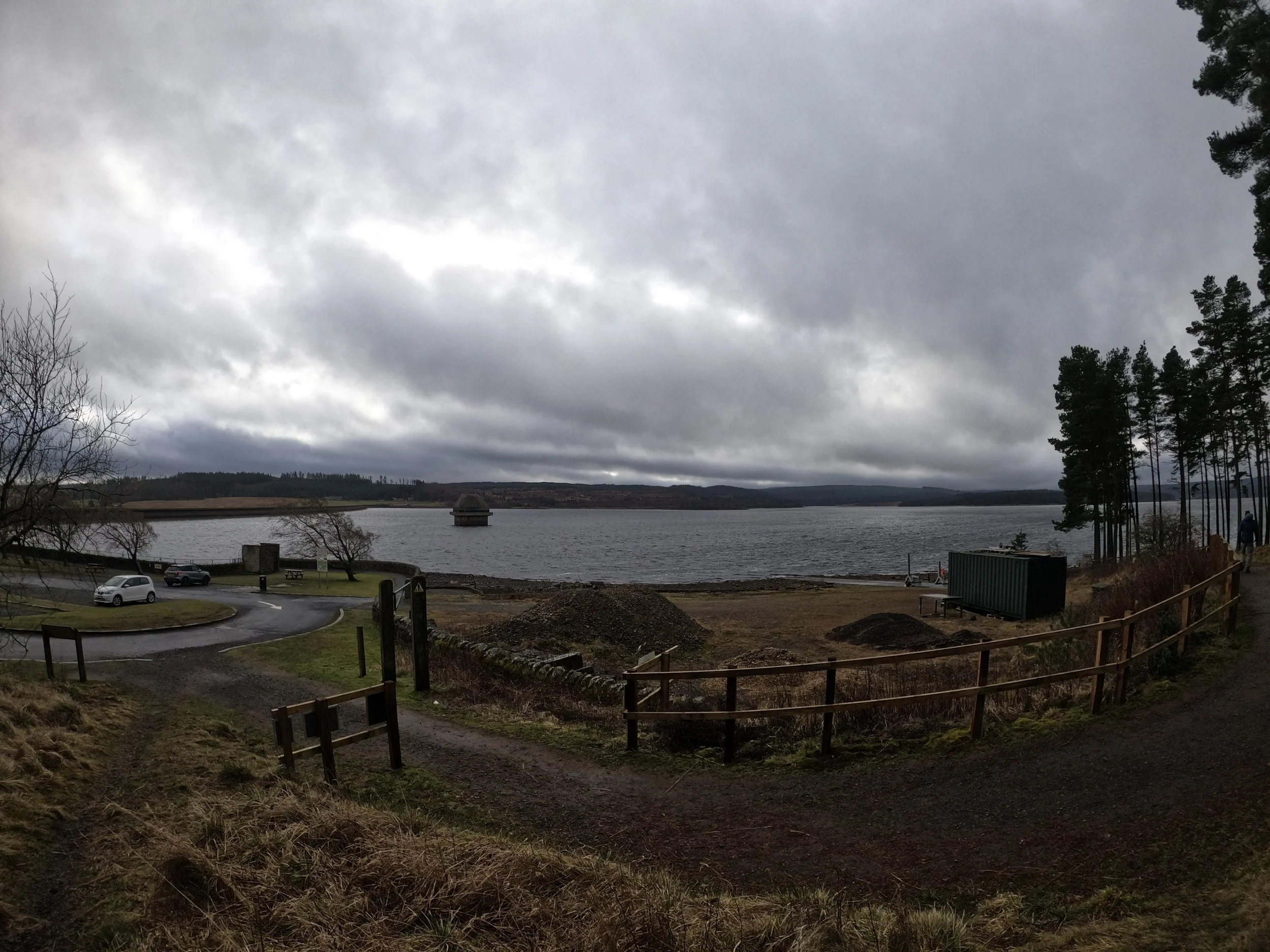
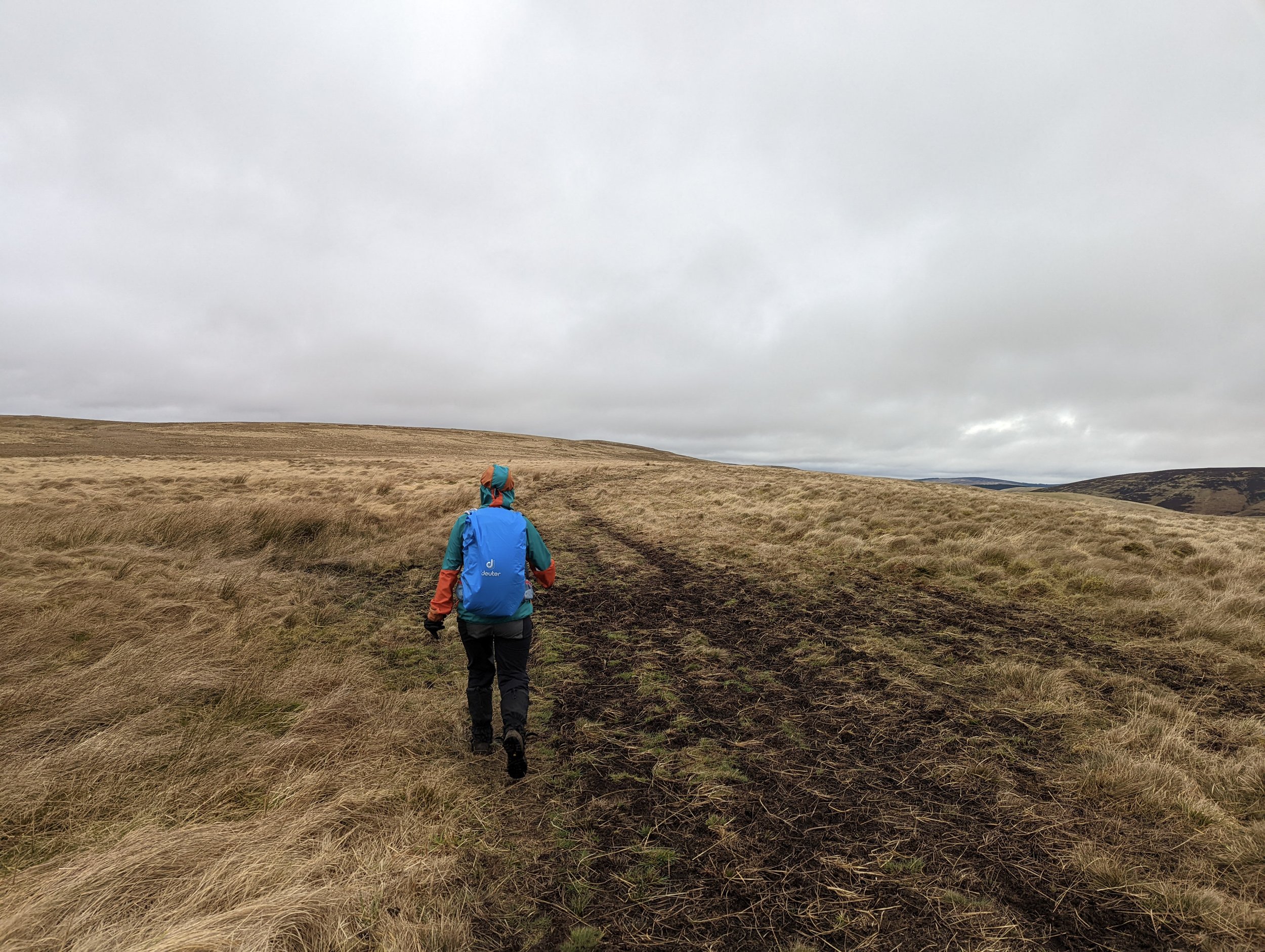
Setting out from the Hawkhope car park, we wanted to follow a short route to the Wave chamber built onto the lake. It was a late afternoon walk and with the weather wet and windy, we had decided on a small, sheltered walk through the woodland.  

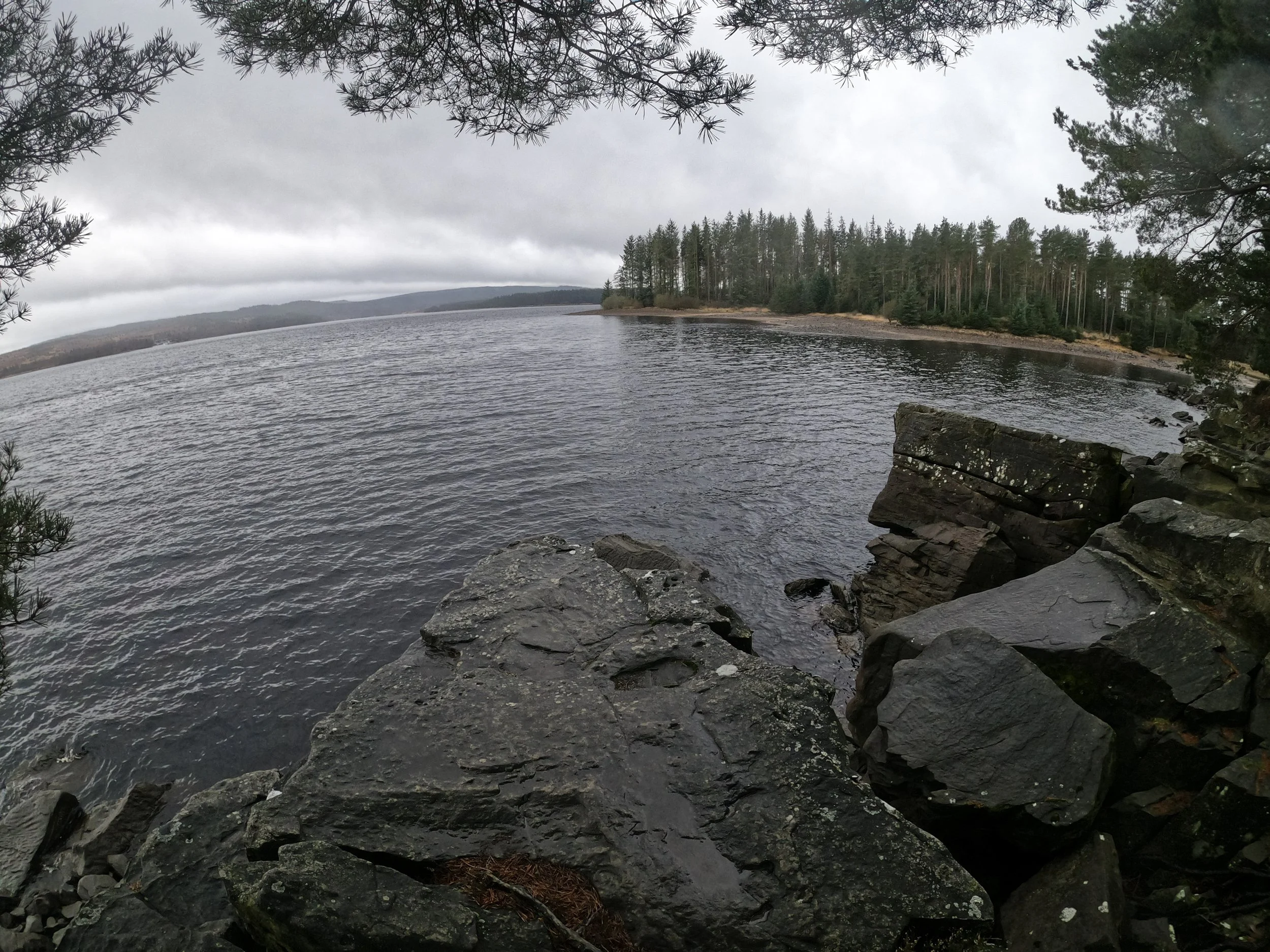
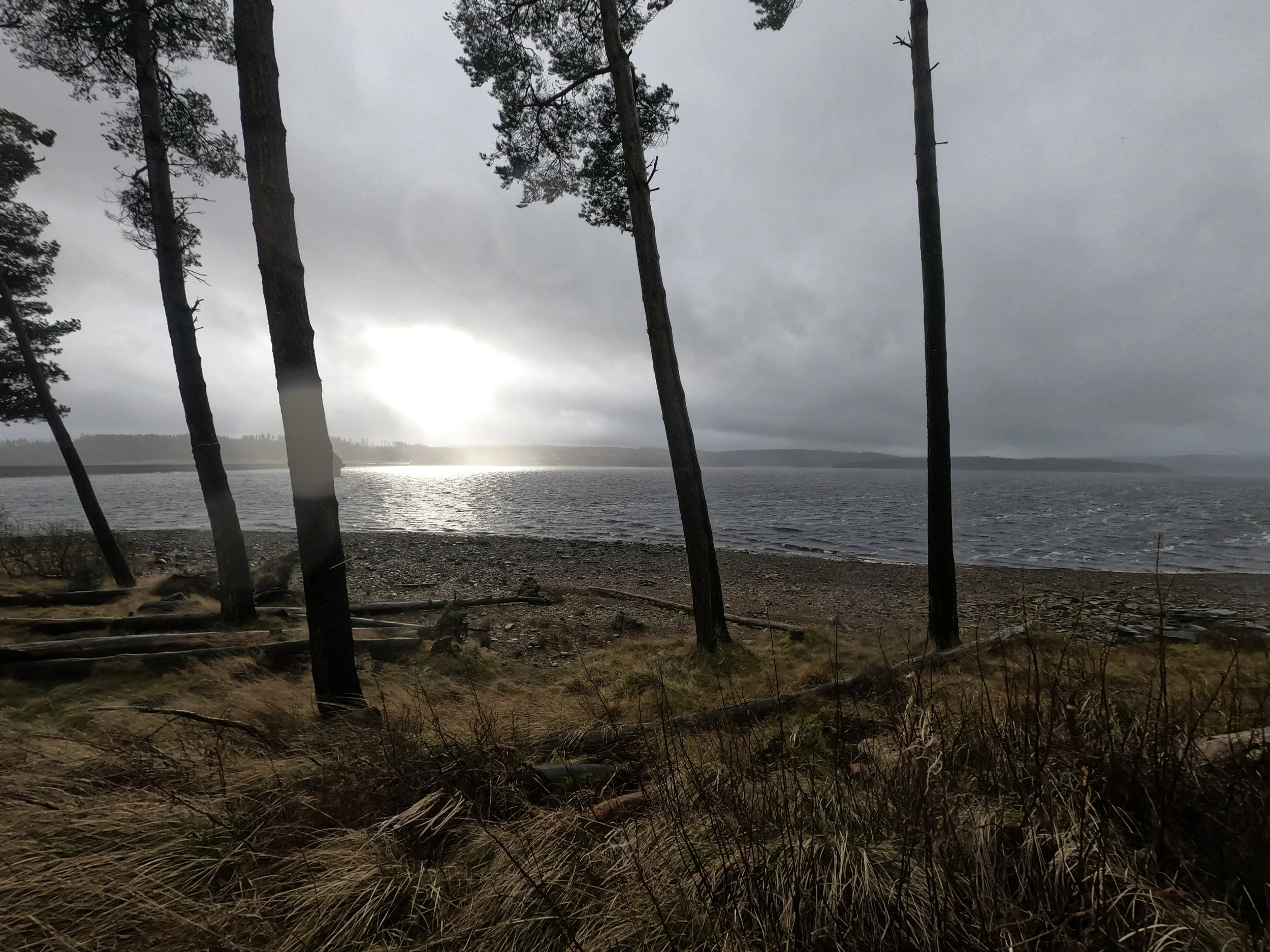
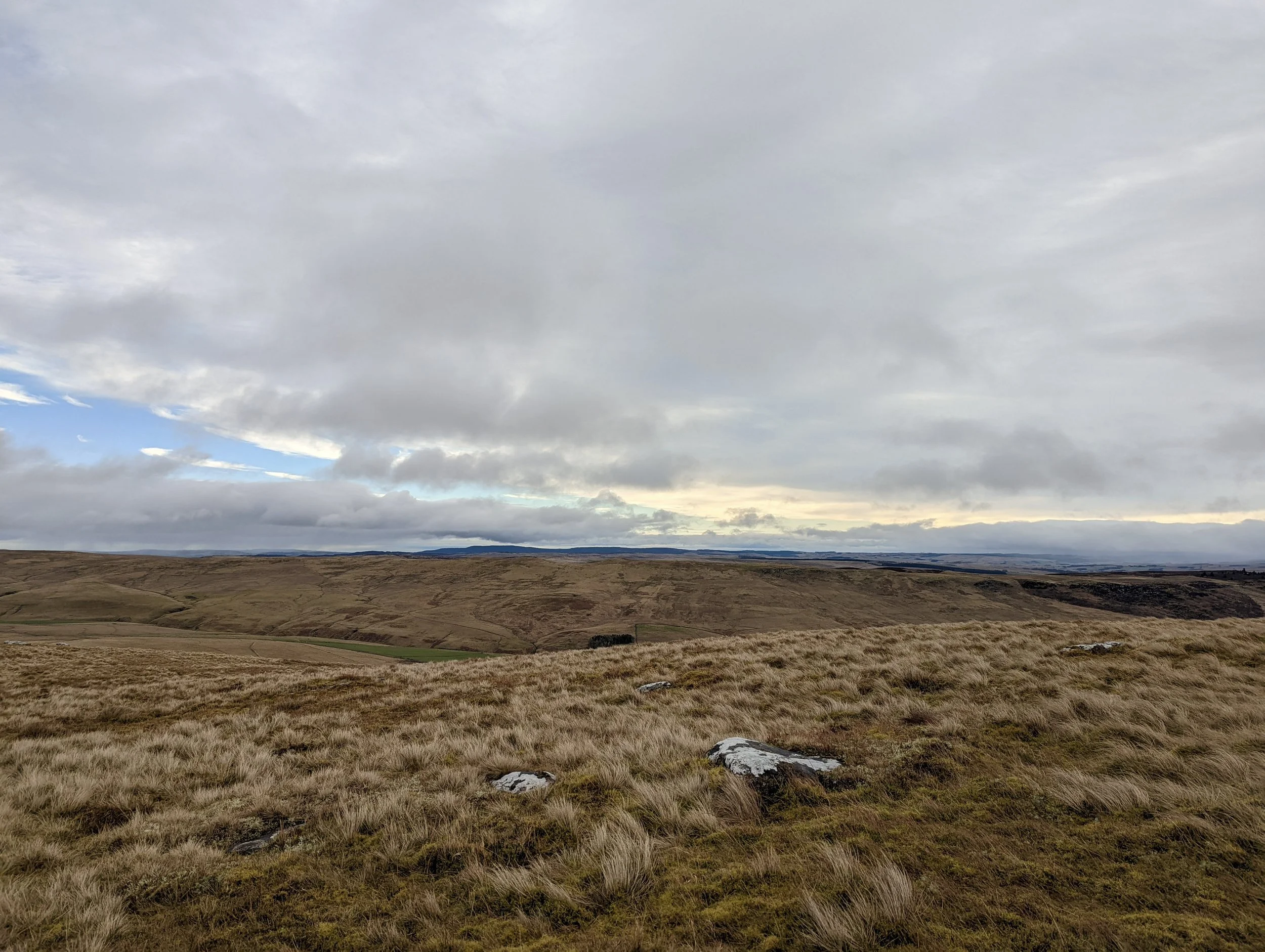
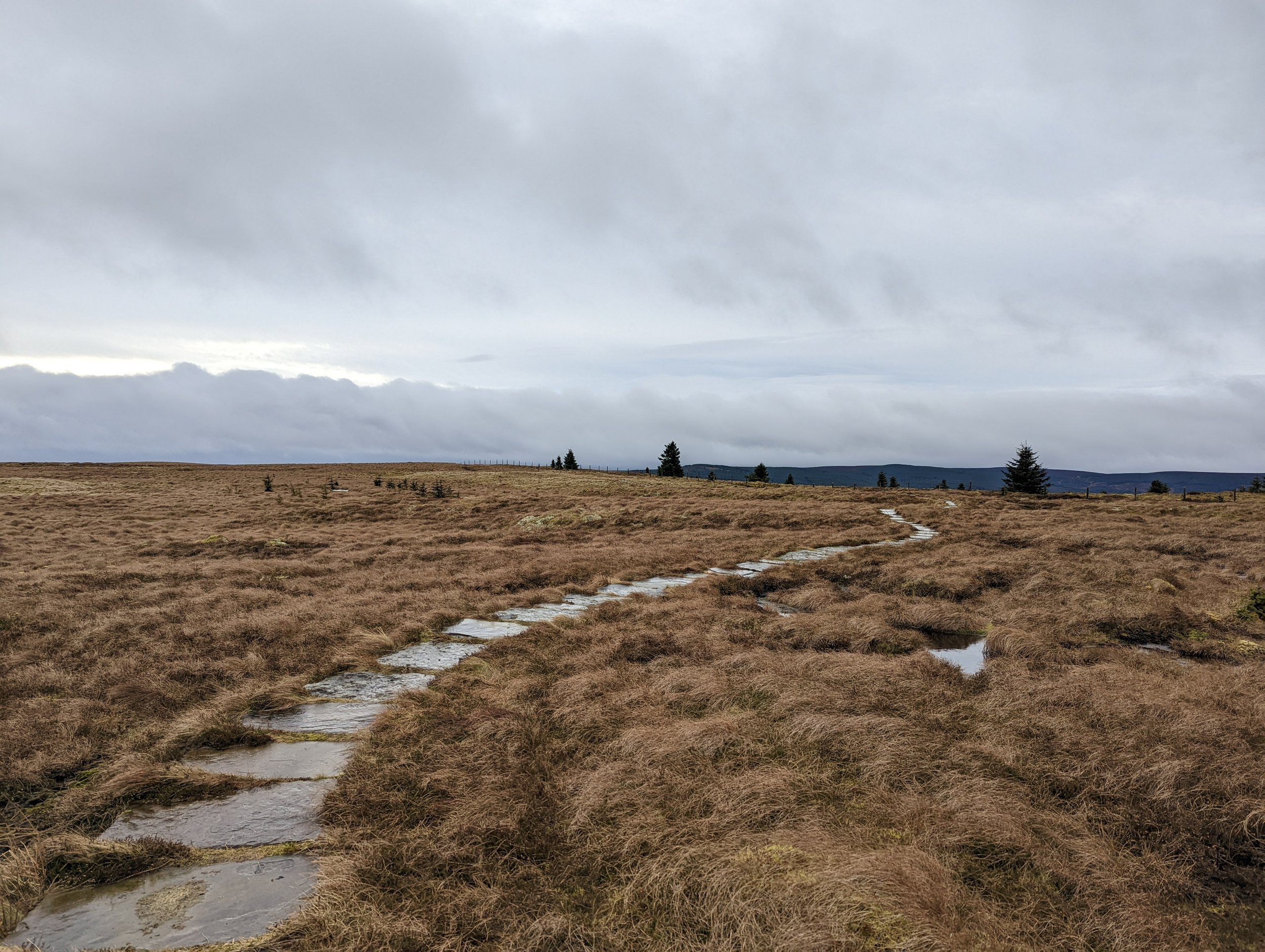
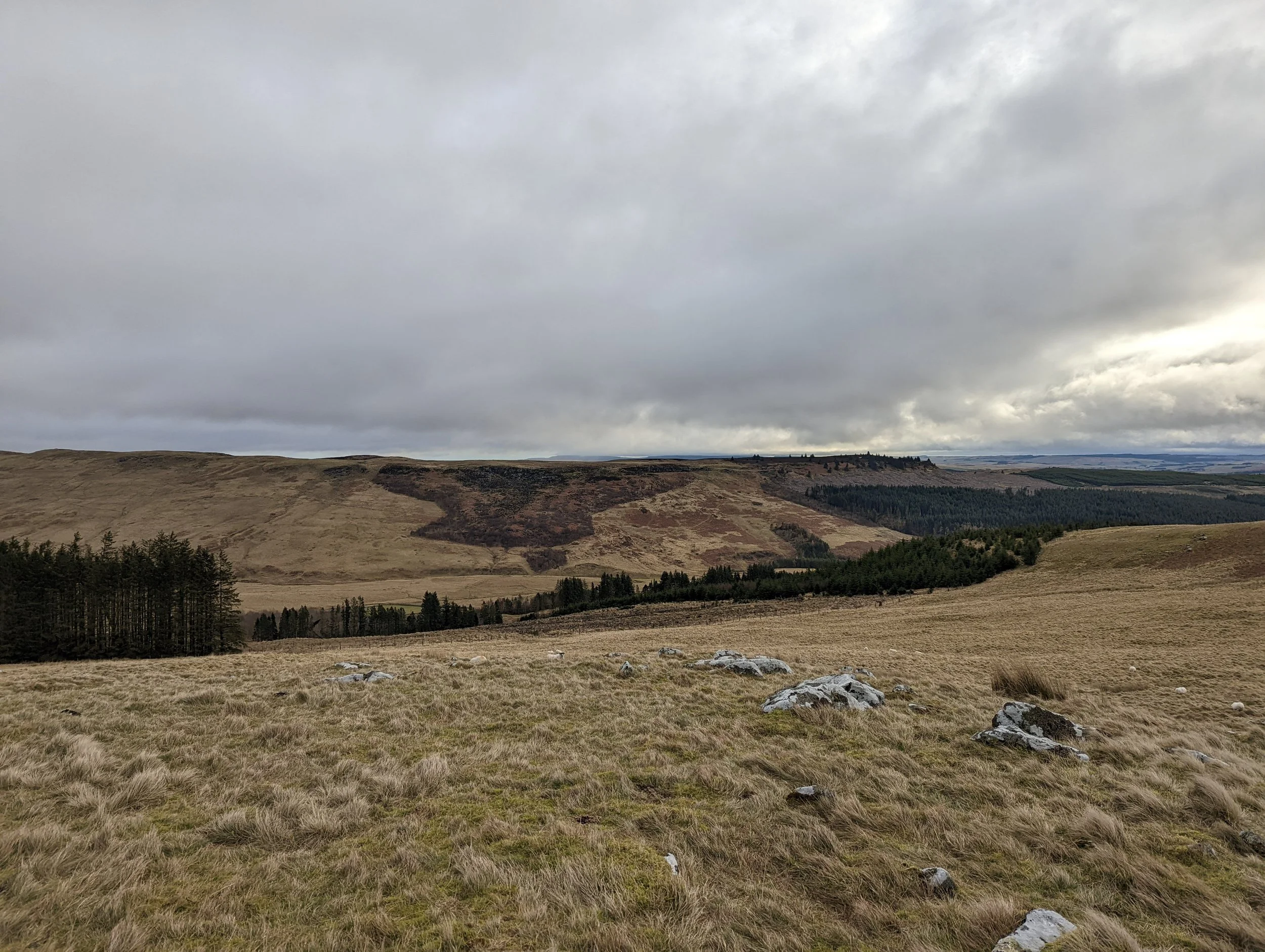
We started along the distinct path just above the car park and found it easy going. The path runs alongside the lake with water lapping up against the surface. Although rain was falling, the sun had come out on the opposite side of the lake, so the far-off views were spectacular. As we continued along the meandering path, following the lakes shore, we reached a small cliff face set out against the lake. Following this around, we started to get views of the Belling, a small outcrop in the direction of the Wave Chamber.  

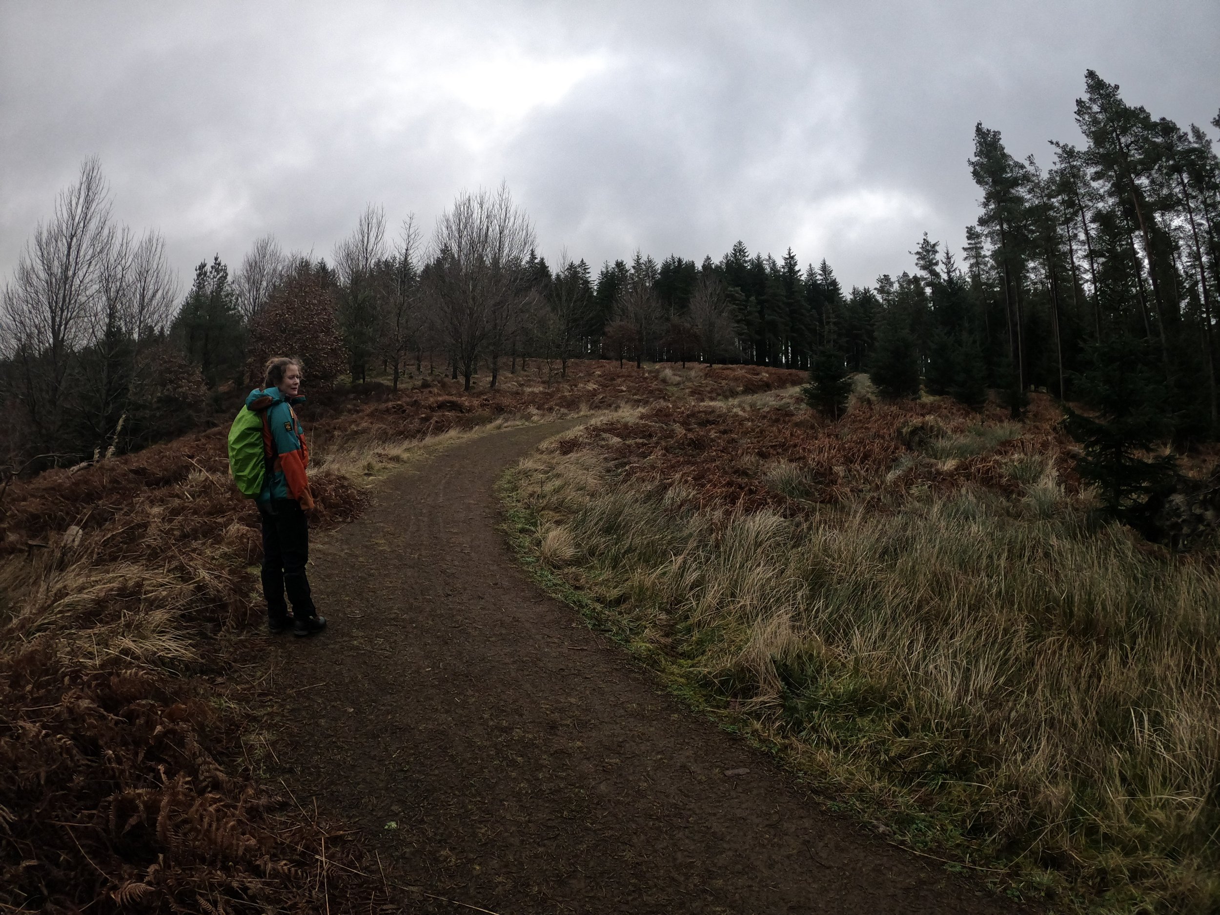
By this point, we had passed quite a few signs advising of downed trees due to the recent storm, and that we should take care, but luckily the main path had been cleared and there were no serious issues as we travelled along it.  

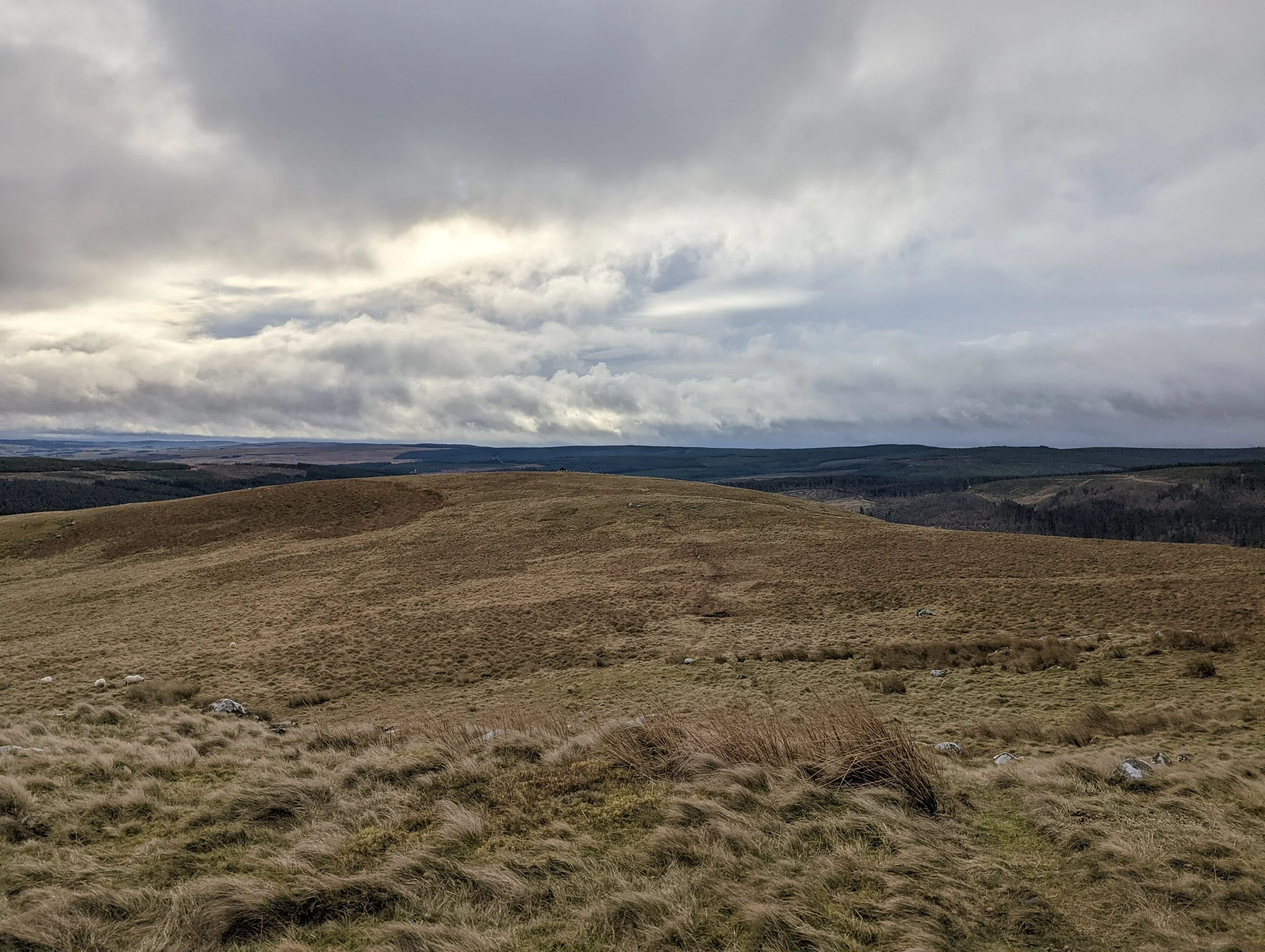
Eventually, we came to the Belling. There was a small sign and some cones advising of too many downed trees and that this should be avoided. It looked fine, so we followed the path for a short while before discovering there were, in fact, many downed trees. Who would have thought! Although passable, they were probably a bit too much of a risk. We made the decision to turn around and unfortunately miss the wave chamber. If clear, is normally a simple walk around this outcrop.  

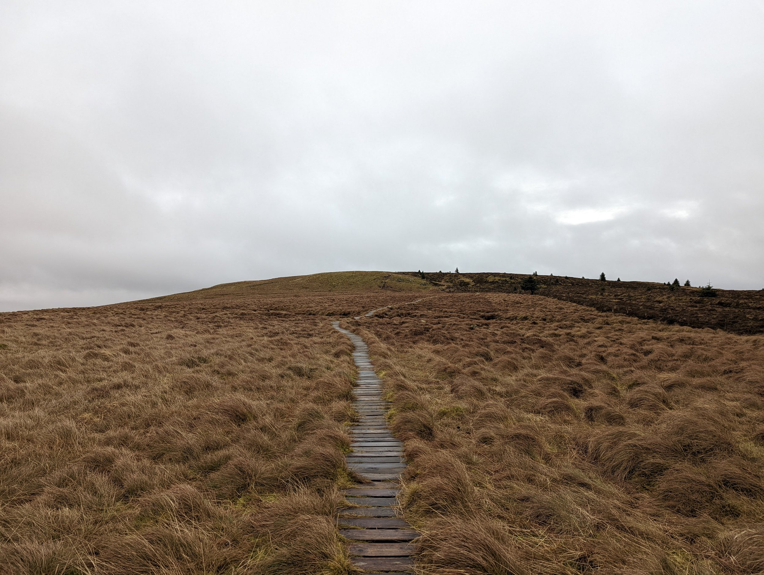
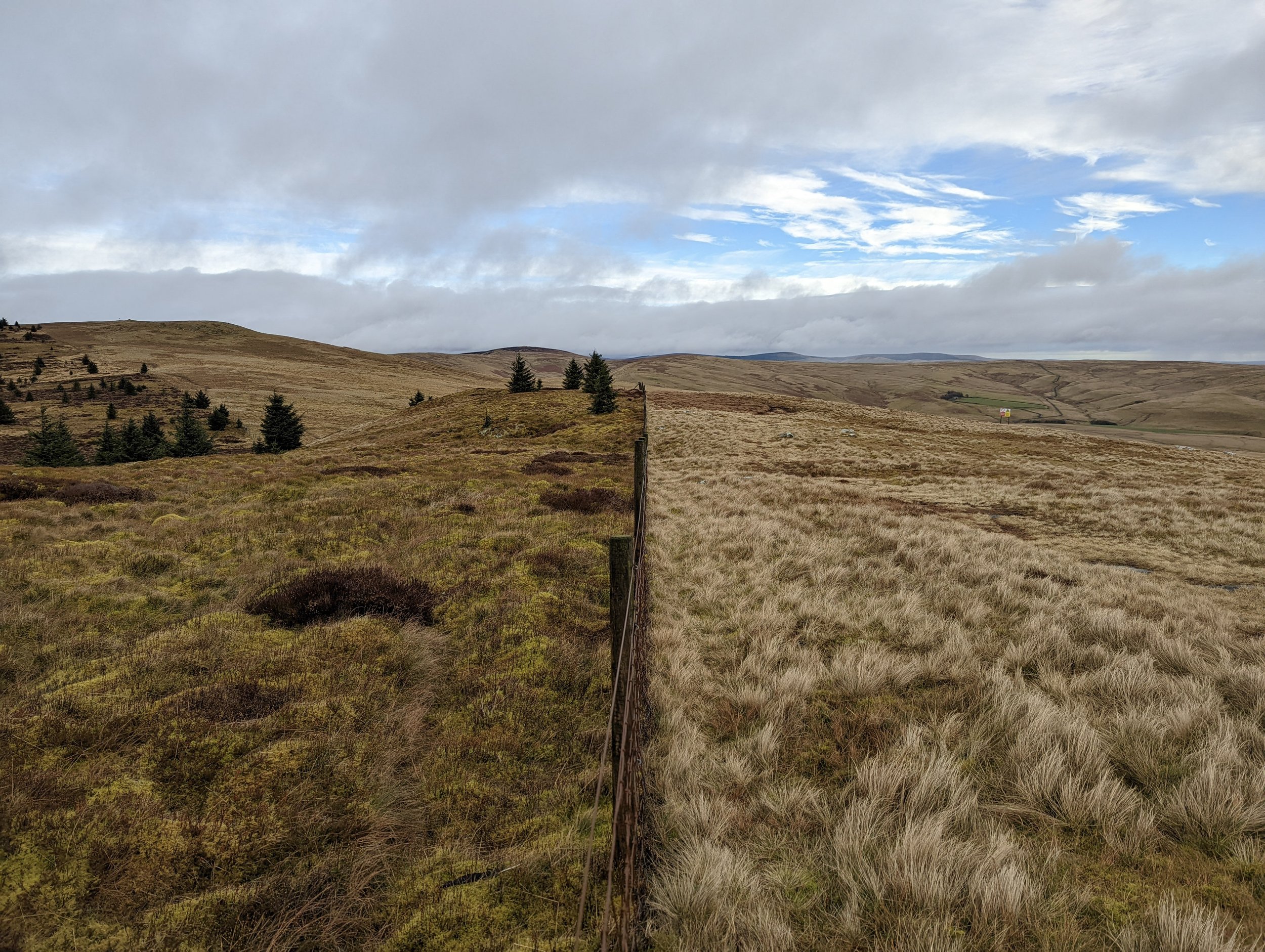
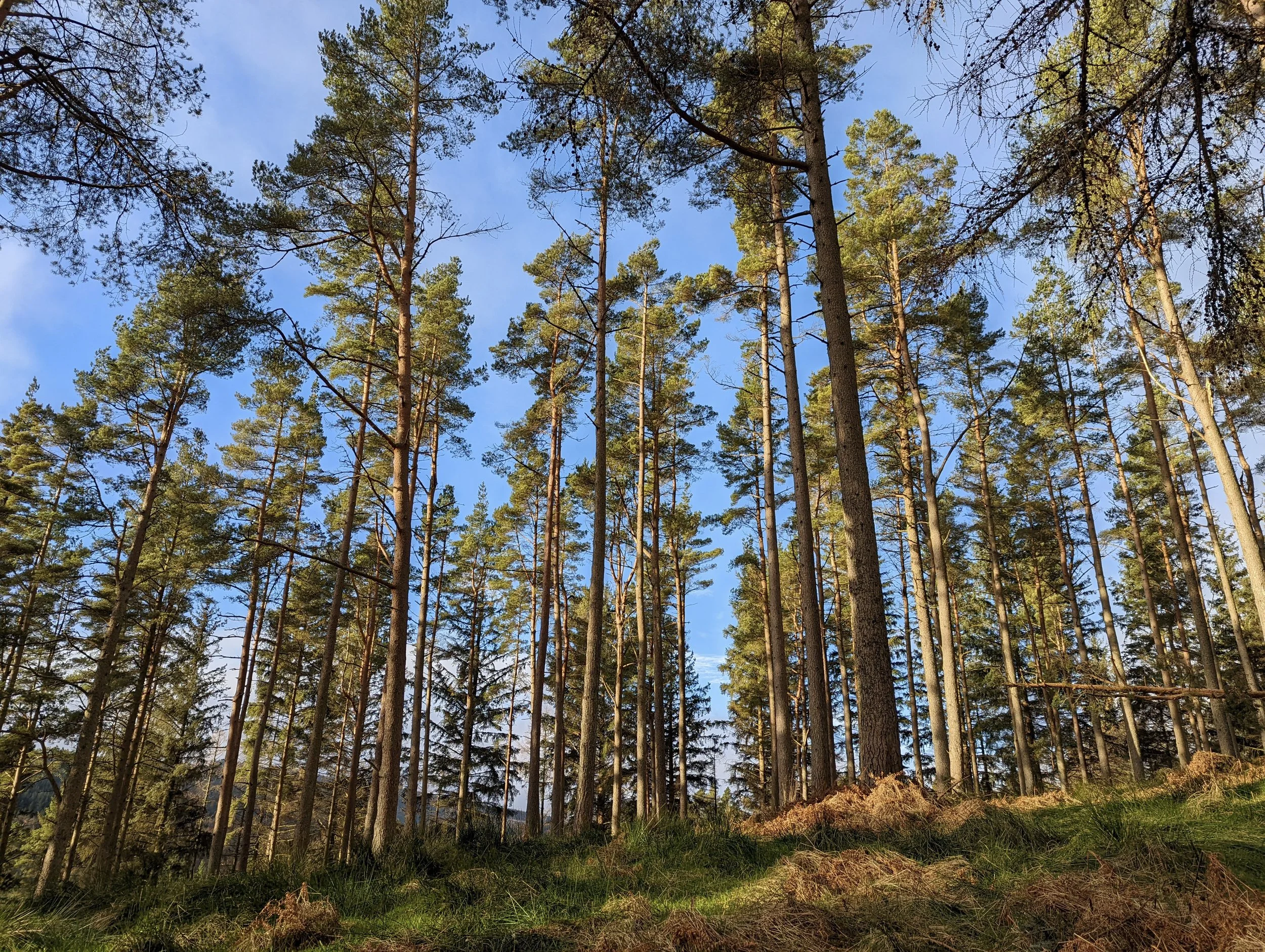
Once back on the main route, the path carried on as expected and if we had more time, we would have looked at walking much further along the Kielder lakeside. As it was, it was getting a bit later and the winter night was starting to draw in, so we took a path on our right up onto the North Haul Road and this track takes you all the way back to the car.  

This ‘road’ is just a wider track, and is used by some forestry vehicles, but none passed us on this day. It does mean that the path is muddy at points, but the higher-level walk through the woodland was nice and it is a very quick route back to the car.  

It was a shame the storm had taken down so many trees blocking our route, but it is still a charming afternoon stroll without much difficulty.  

Otterburn Ranges, Chew Green Roman Fort and Pennine Way - February 2022

Downloads: GPX File | KML File | FIT FileGoogle Maps File | OS Online route

About Otterburn Ranges | About Chew Green Roman Fort | About Pennie Way

Parking Location | OS Map | Current Weather

Starting out in Byrness, we followed the main road until we hit the section where the Pennine way crosses over the road. We latch onto the path and then start the assent up the hill to take in this section of the Pennine way. This path is a direct route up the hill, a little unforgiving at first before taking in a steadier climb. It's mostly through woodland, and surprisingly considering this routh a main “way” it’s a small, albeit very clear path.  

As we started to rise above the trees, the views became better and better. As we neared the edge of the woodland, we found a few trees down over the path. We managed to make our own way around these and then exited the woodland. Crossing over a forest path, we carried on up and headed over a much rockier section where the views out down the valley were extremely picturesque.  

It was here we came across the first of a few military warning signs, stating that the ranges are a live firing area and to not wander into the ranges or pick anything up. The OS Map’s clearly lay this information out, so make sure you’re carrying one.  

From here, we headed left, following the Pennine way. This takes you across a large hilly section of the Otterburn Ranges. It’s here that the beauty of the undulating raw hills comes out. It’s a wild place, and with the weather soon moving in, the harsh wind that had developed made it feel all the wilder. Making our way along the path, we passed a few more signs. Once we started to run more parallel with the woodland below us, the ground grew boggier in sections. Luckily, these are cut through with a wooded walkway or rocky steps, both of which make it very easy to not get wet feet. Eventually, we take a left turn to face Grindstone Law and Scotland. From here the path drops down and you still have the rawness of the area on show but with a view out to even more hills and mountains than before.  

Still following the path running parallel to the wooded area to our left, we left the woodland behind and entered Scotland! About 20 minutes of walking through a grassy and bumpy path swings you around and heads towards the Roman fort. Winding back over the border into England again, we soon reached the fort. There isn’t much to see here, some obvious remains of a fort but as they’re all grass covered, I imagine the view is much better from above than ground level. 

5 minutes of looking for old roman coins (because why not!) and we started back. We re-traced our steps back over the Scottish border, and then again into England before joining up with the path and the woodlands.  

Here we went over a small hidden stile and took a permissive path through the forest. It is Forestry commission land here, so there is a substantial number of tree stumps over the floor between the small scattering of trees. It is bit of a rough trek here, there is no real path to follow and the tree stumps along with the thicker tree coverage means more concentration is needed for walking. As slow going as it was, it was still the most direct route back.  

Once out of the main wooded section, we emerged onto a forest track. From here it is a case of walking the flat track all the way down the hill and back to the bottom. Just because it’s a generic forest track doesn’t mean it’s boring. It sweeps through the valley and even runs past a Bothy, all while still having fantastic views out to the valley bellow and the endless forests around the national park.  

Once at the bottom, we followed the A68 back to where we had parked, there is no path here but there is plenty of space on the grass verge at the side of the road. In summary, this is a wonderful wild walk, taking in an interesting part of the UK. We will definitely be back exploring here in the future.