Downloads: GPX File | KML File | Google Maps File | OS Online route
About Cats Tor | About Shining Tor | About Errwood Hall
Parking Location | OS Map | Current Weather
On a slightly wet day, we decided to take on a few peaks while having woodland around in case there was a bit of a bigger downpour. Getting there early, before the car parks got busy.
We set out from the car park at Errwood Reservior. The car park was on a hill so we walked to the higher end and reached a track. This took us along side the road for a bit until we dropped drown to cross over and into the forest. Here, you follow a stony track for a few minutes before turning left into the woods. This path doesn’t show on an OS map, but is very obvious. It is used at times by bikers. If you’re not sure about this, feel free to head up road as there is a path next it.

Walking up through the woodland instead of the road made this a very pleasant walk. It’s an obvious dirt path through trees and winds back and forth, but the views through the woodland are lovely. Once through the woods, the path takes you back out onto the road. Following it up the you quickly gain height and after passing a few parking bays, you reach a path to the left. This is just before the road heads over the crest and leads towards the two main hills overlooking Errwood Reservoir.
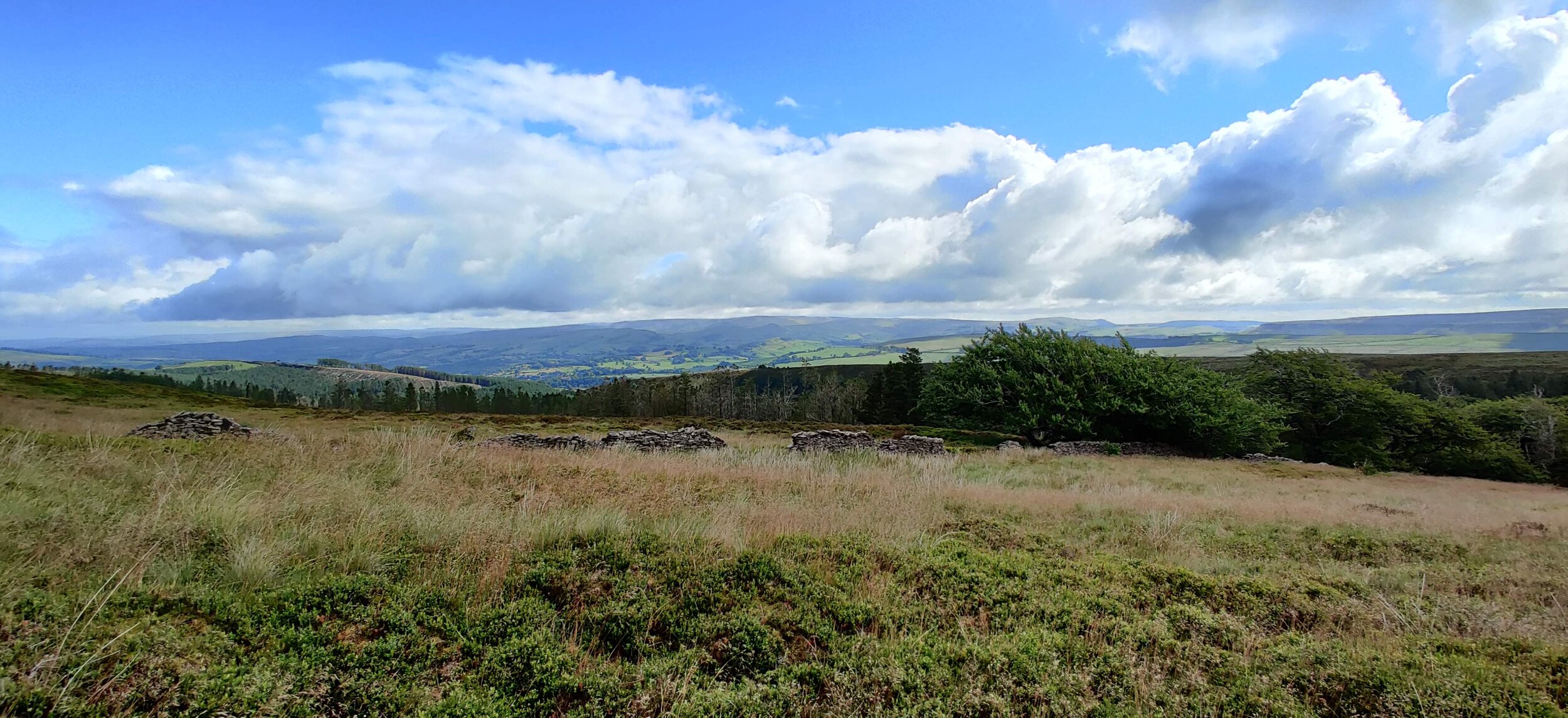
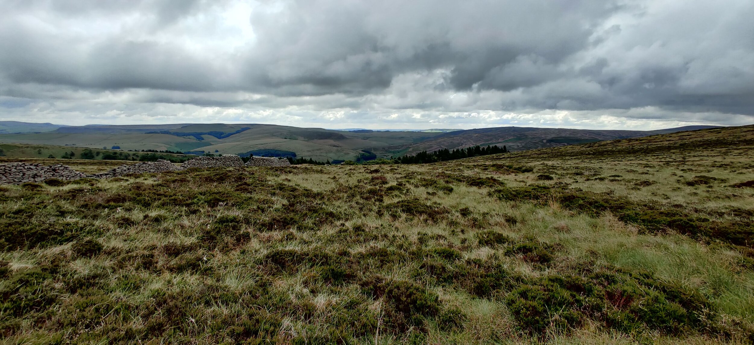
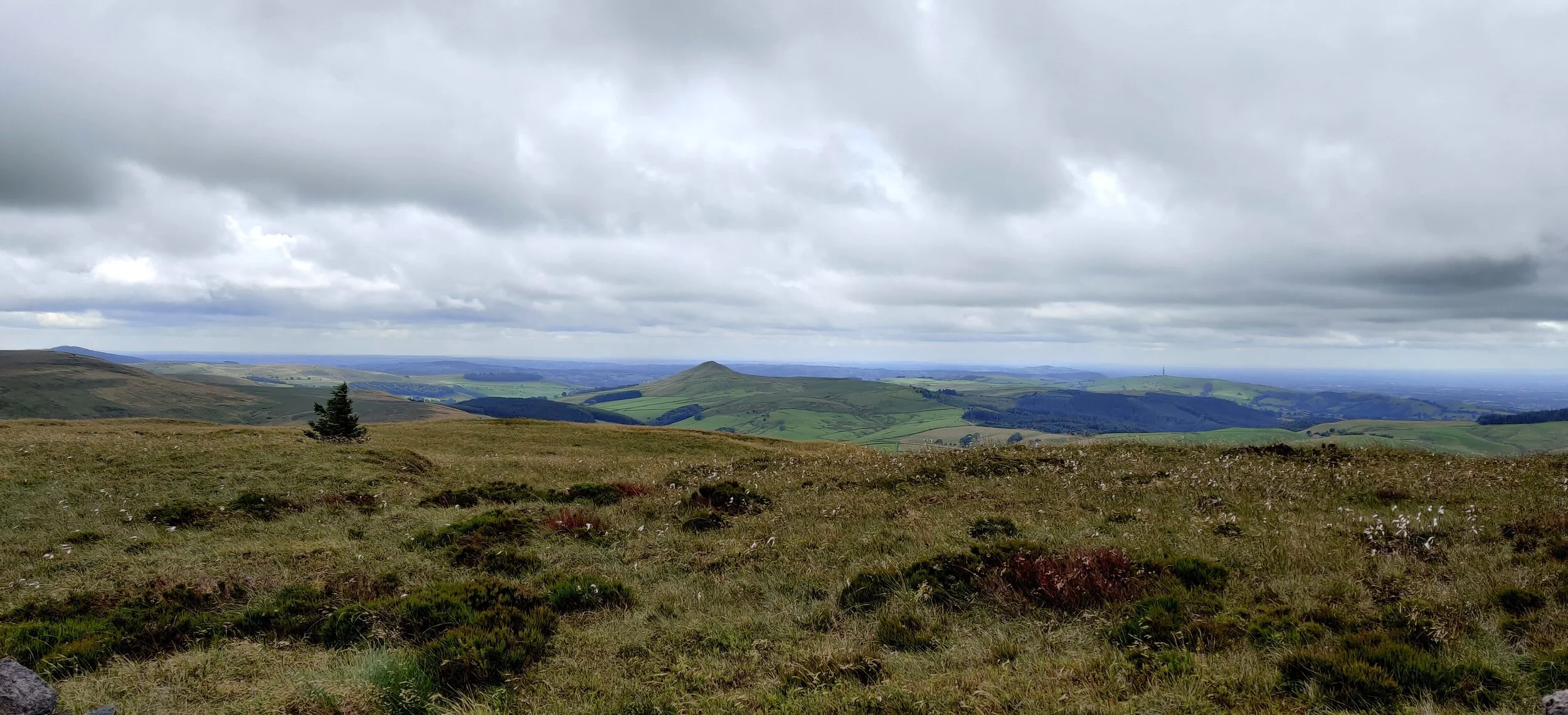
The route to these is very straight and therefore easy to follow, it also never gets too steep or difficult. Heading over this easy-to-navigate track, you soon come to Cats Tor. The views here are great, heading out over Macclesfield and then over Errwood Reservoir and the flowing hills.
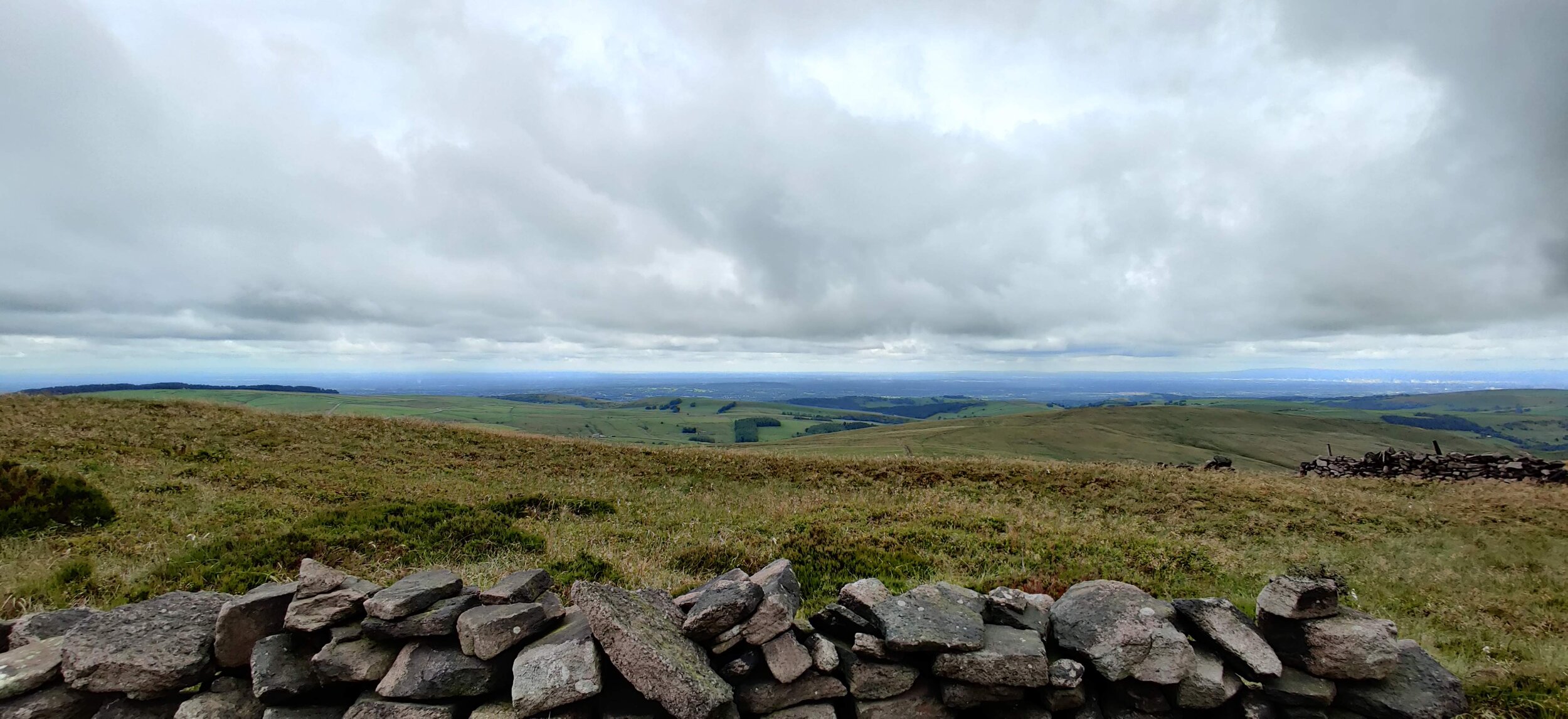
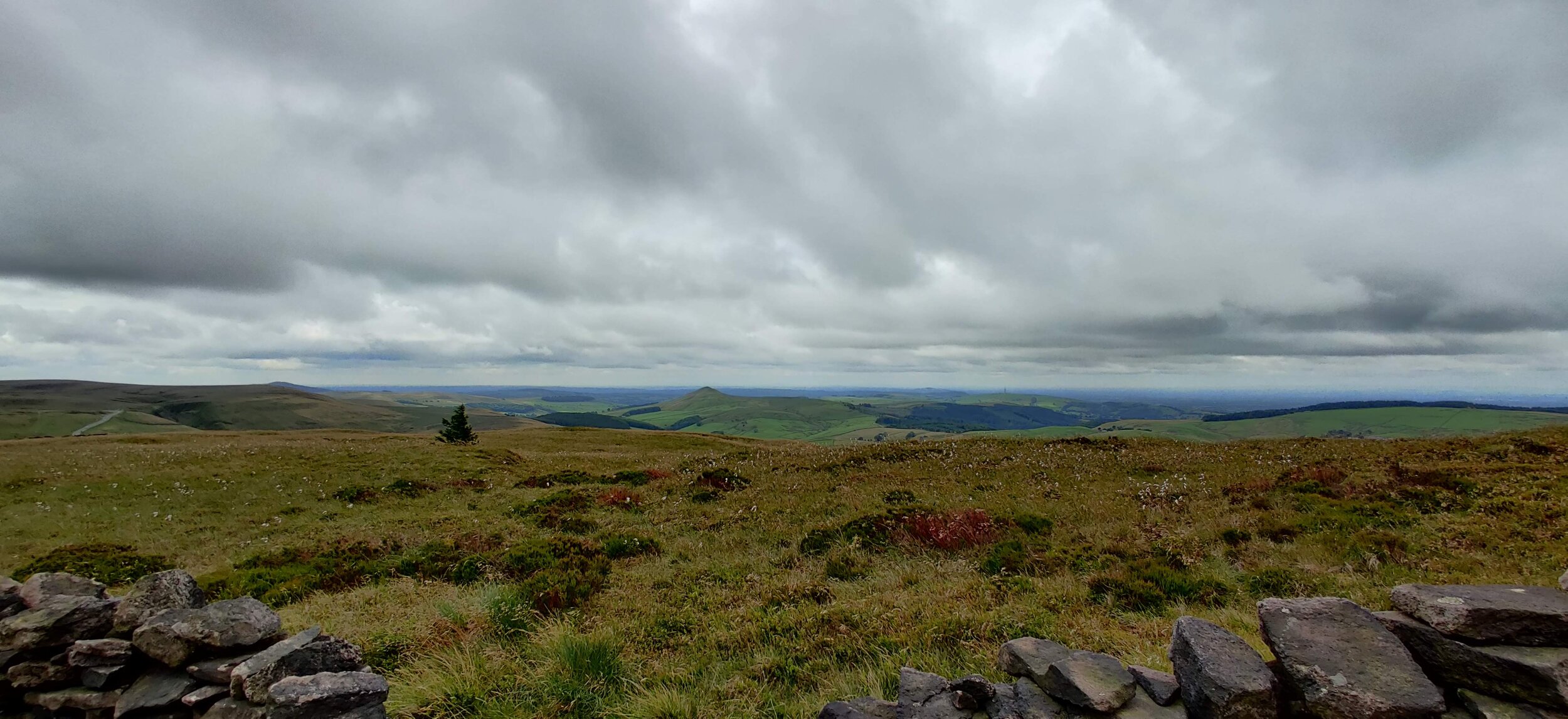
Coming down from Cats Tor, it’s a similar story for navigation and terrain. It is not too far before you get to the next peak of Shining Tor. Once here, you are again greeted by several fantastic views and if you’re wanting to get to the Trig point there is a stepped stile over the wall running alongside.
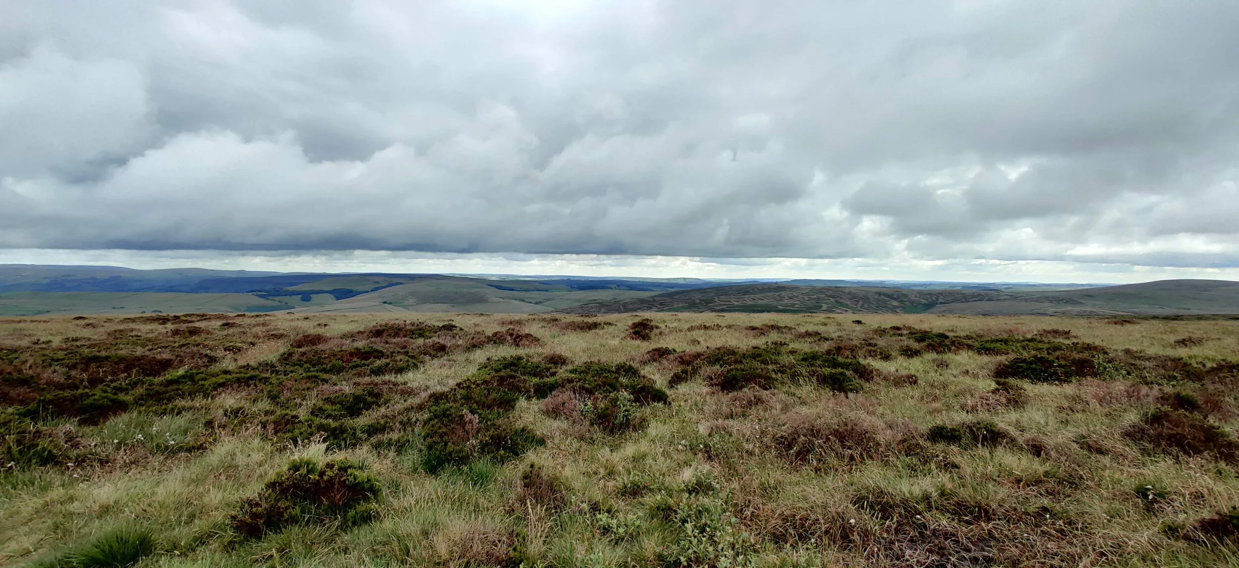
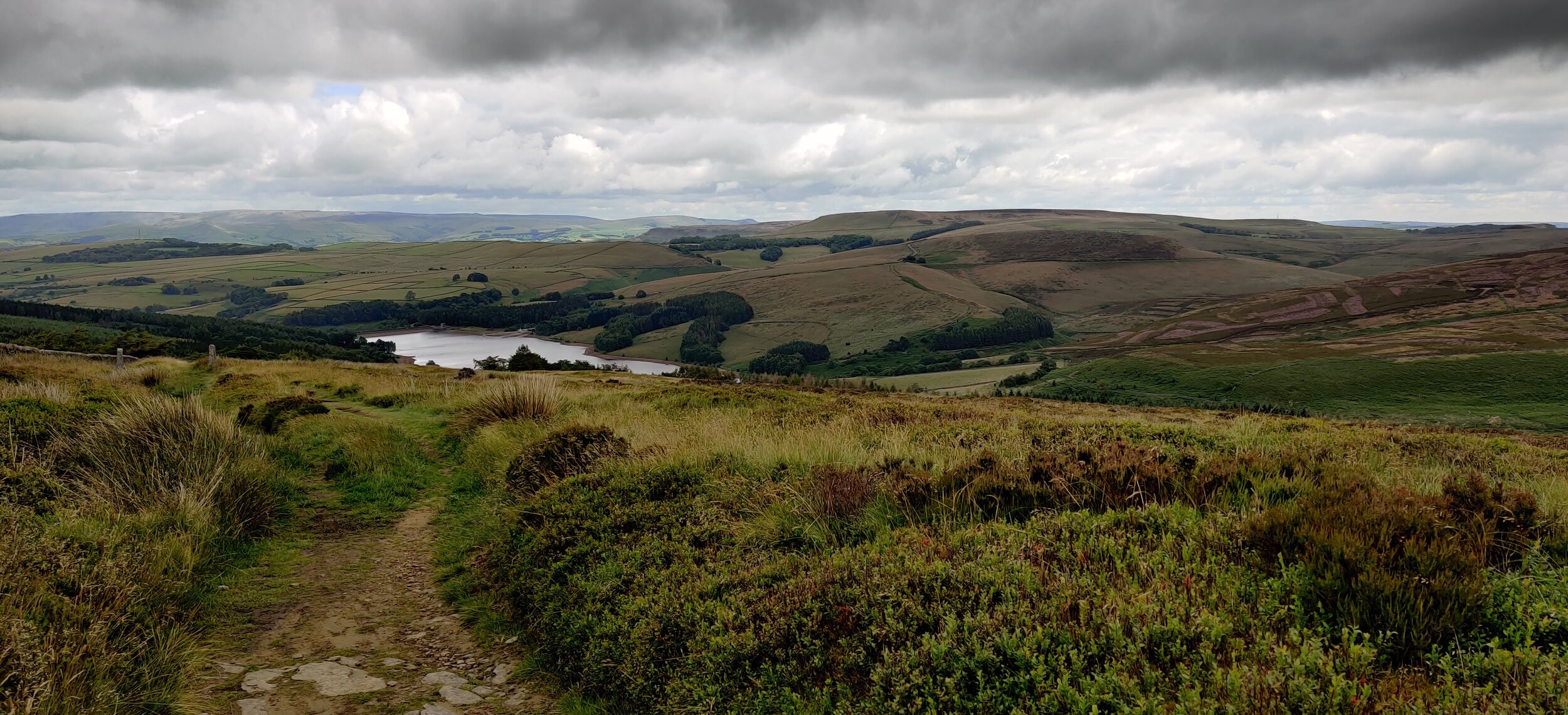
From here, we headed down the hill in the direction of the reservoir. This dips down quite a bit, before heading back up to the ridge in front of you. Following the path to the left, you walk along the ridge (don’t worry, it is quite wide) and the views open out to the reservoir beautifully. We followed this for some way. I have to admit it’s one of my favourite views in the area, as you get a bit of everything that the peak district has to offer.
Once at Shooters Clough we headed to the left and back down into the woodland. This section of the walk was also particularly beautiful, walking amongst the trees with the surroundings filling in the views. A zig zag path means you get down to the lower levels quite quickly without it ever becoming tough or boring.
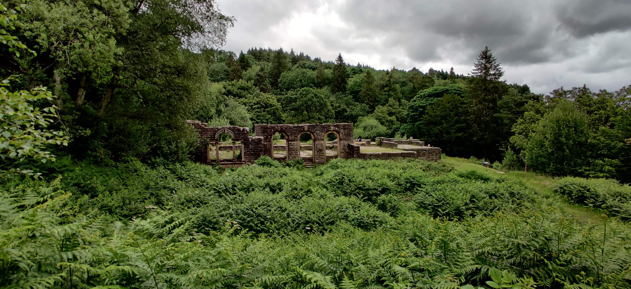
Once the path starts to flatten out, we took a little path to the right that leads to a stunning waterfall. We spent some time here before heading back off out and onto the original path. From here, the path circles around the hill in front. You can skip around quickly to the left, however heading to the right is much more spectacular. Walking this way around the hill will lead to Errwood Hall. An historic building at the heart of the estate which consisted of; several farms, the Cats and Fiddle Inn, a coal mine, a school, and the hamlet of Goyt’s Bridge. The Hall was demolished in 1934 in connection to the construction of the Fernilee Reservoir. This was the most popular part of the walk, and there were quite a few people here so we soon moved on and headed back into the woodland. We followed the main path down towards Shooters Clough Bridge, which then leads onto the main road.
Once at the road, there is a path running alongside it which will take you back to the car park. It is a great walk, not too tough, and is fine to do in pretty much any weather. The views from the peaks and Errwood Hall are the stars of this walk.