Downloads: GPX File | KML File | Google Maps File | OS online route
About The Long Mynd | Parking Location | OS Map | Current Weather
Staying near the Shropshire hills for a long weekend enabled us to get out and go and visit this much talked about area, we have a tendency to head to the Peak District or the Lake District with our spare time so settling on going here enabled us to find places we hadn’t before heard of. One of these that was much celebrated online was Carding Mill Valley and the Long Mynd. We found a route and headed down to Church Stretton where we parked before heading through the village up to Carding Mill Valley.
The walk up pasted by the National Trust centre and car park (which further research would have led us to park here), and then alongside a narrow river. As we travelled up the route we continued to follow the quick moving water and eventually happened upon a junction which advised there was a rough route to the left, which had a wonderful waterfall, or an easier route right. Our original route had us going right, but the waterfall temptation was too much and we headed left. This way was much harder terrain than what we had been walking along so far, and we happened upon a number of precarious and slipper patches. However, once we got to the waterfall we found that we had definitely made the right choice as the view was lovely.

Leaving the majestic waterfall behind we continued on and found ourselves wandering across some moorland that gave us the feeling of being much closer to home than we were, numerous routes criss-crossed here but we settled on heading back to the main path to continue our hike. This route took the two of us up to a bridleway which would begin part of a rather large loop that would take us down through a valley and back up the other side.
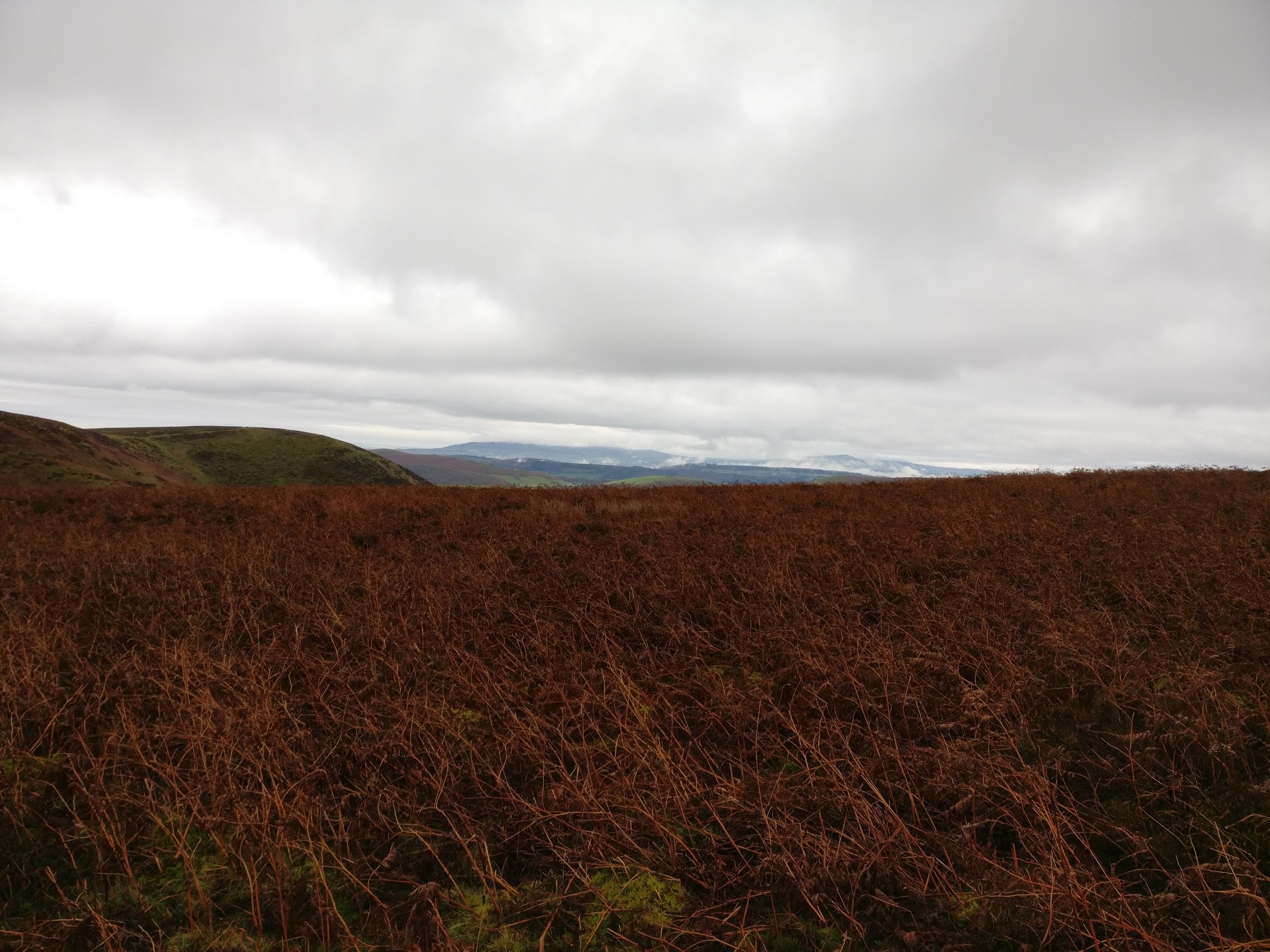
The walk continued along the moorland with excellent views of the surrounding country before leaving the National Trust area and heading downwards, this section of the route followed some very quiet roads along past some beautiful houses and farms before dropping us to the bottom and into Ratlinghope. These isn’t much to say about this part of the walk and you are in a valley on a road so a lot of the walk was making sure that no cars wanted to pass and that we were safe.
Upon leaving Ratlinghope we headed up back towards the moorland where we started another steep climb, but once we again entered the National Trust area we found a route off into the moorland once again, this had us back on track with wide open spaces and pleasant views and upon reaching the top of the climb we found we had completed the entire route. Once we had completed the circle we headed back down towards Church Stretton, but via the easier path skipping the waterfall, this enabled the climb down to go much quicker and upon reaching the National Trust carpark we found a route on the GPS that would allow some more walking in the countryside before hitting the main car park in the village. We followed this down for around 1km before entering the village and jumping into the car.
The views and waterfall were absolutely great, and the range of walking with two obvious high peaks and 17km under the belt was also good going. We would have chosen less time on the road for the far part of the walk, but no obvious paths were available and luckily these roads were very quiet.