Downloads: GPX File | KML File | Google Maps File | OS Online route
Parking Location | OS Map | Current Weather
We parked on the Walna Scar car park to start this route. We have been up and around the Old Man of Coniston many times, but today was gloomy with low cloud rolling in. We decided a low level, short walk would be more fitting for this weather. I had previously found some beautiful pictures of a waterfall pouring into a quarry below the Old Man, and with a little digging, found its co-ordinates. We planned a route on the map.
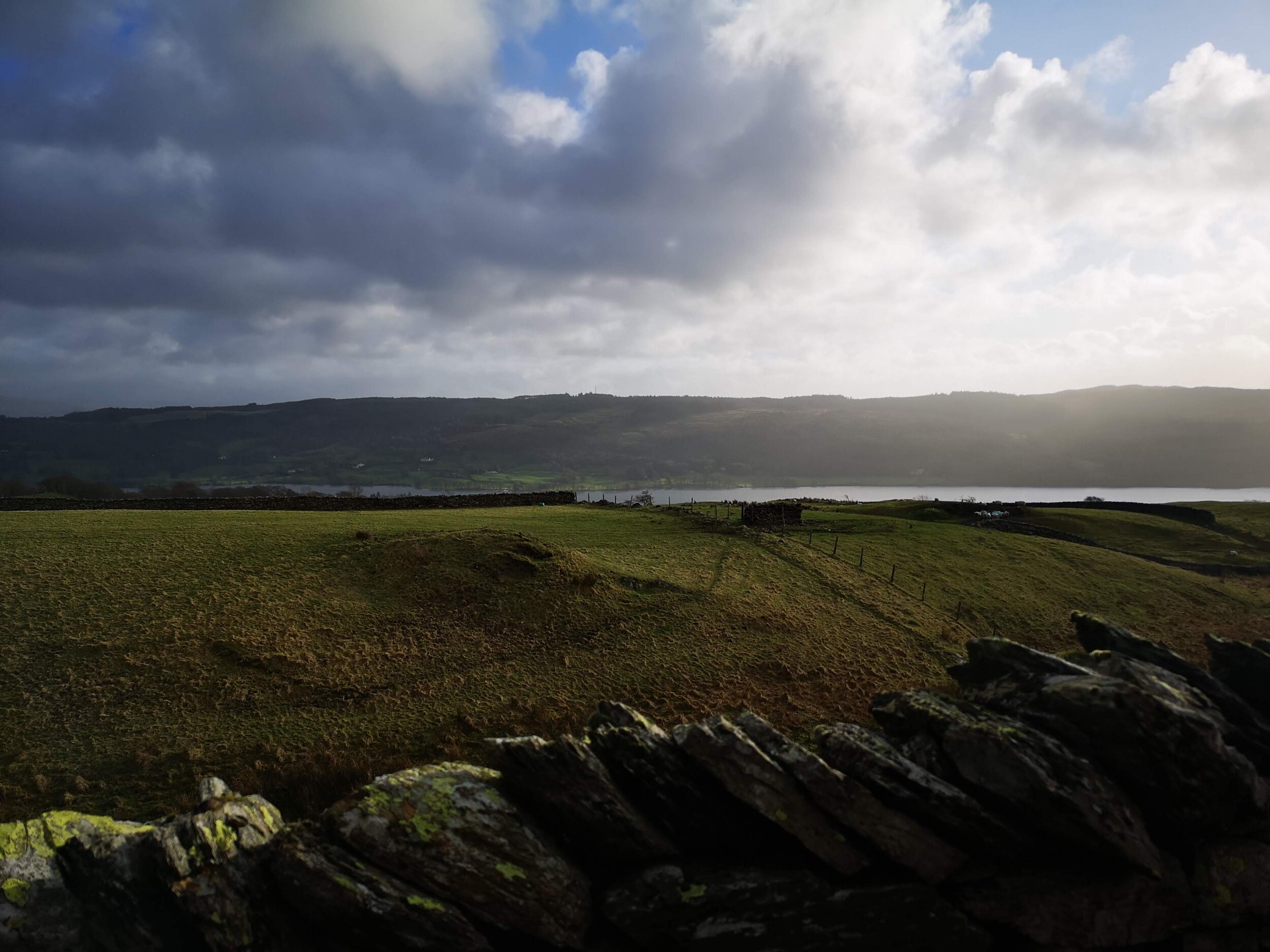
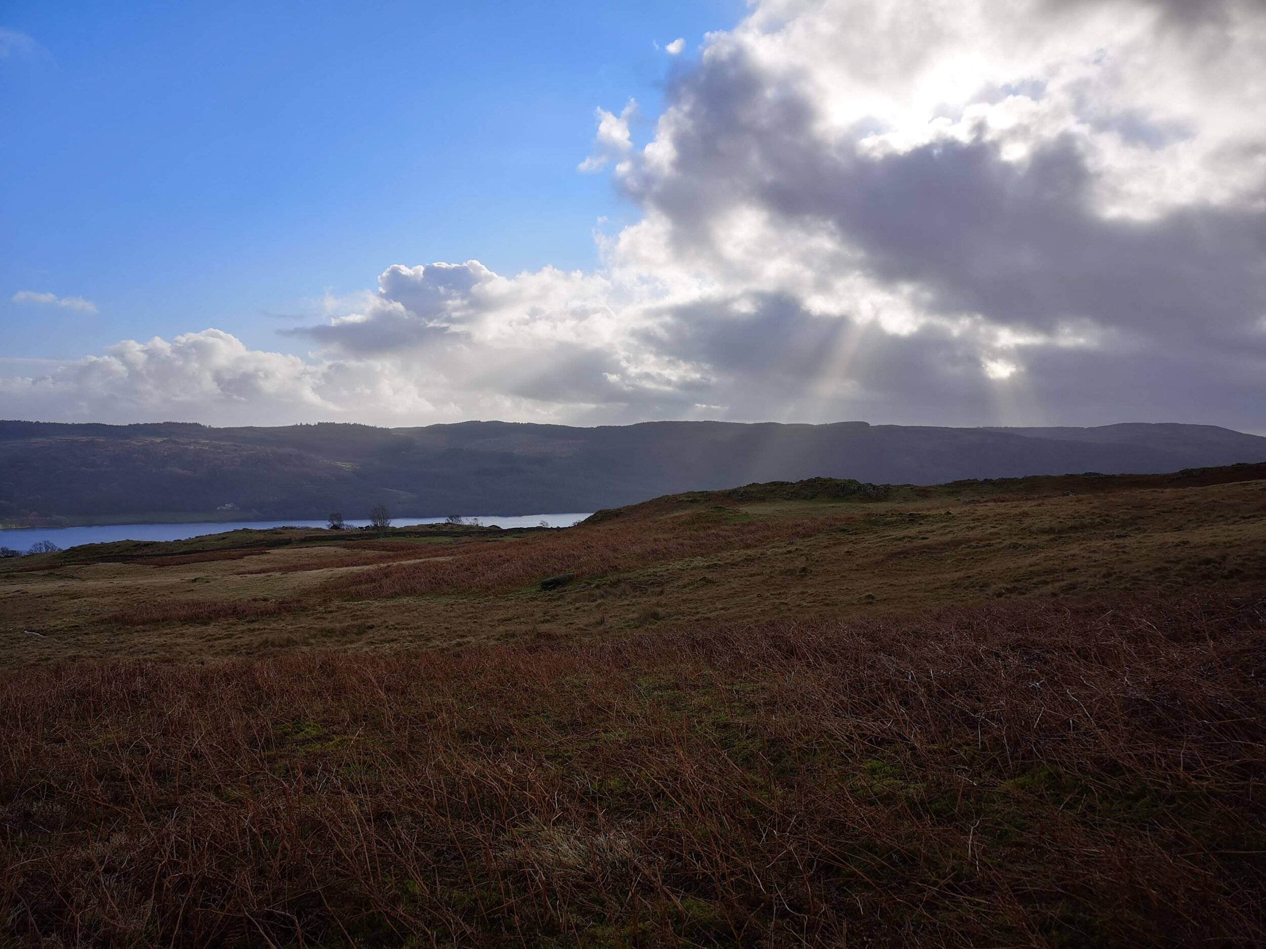
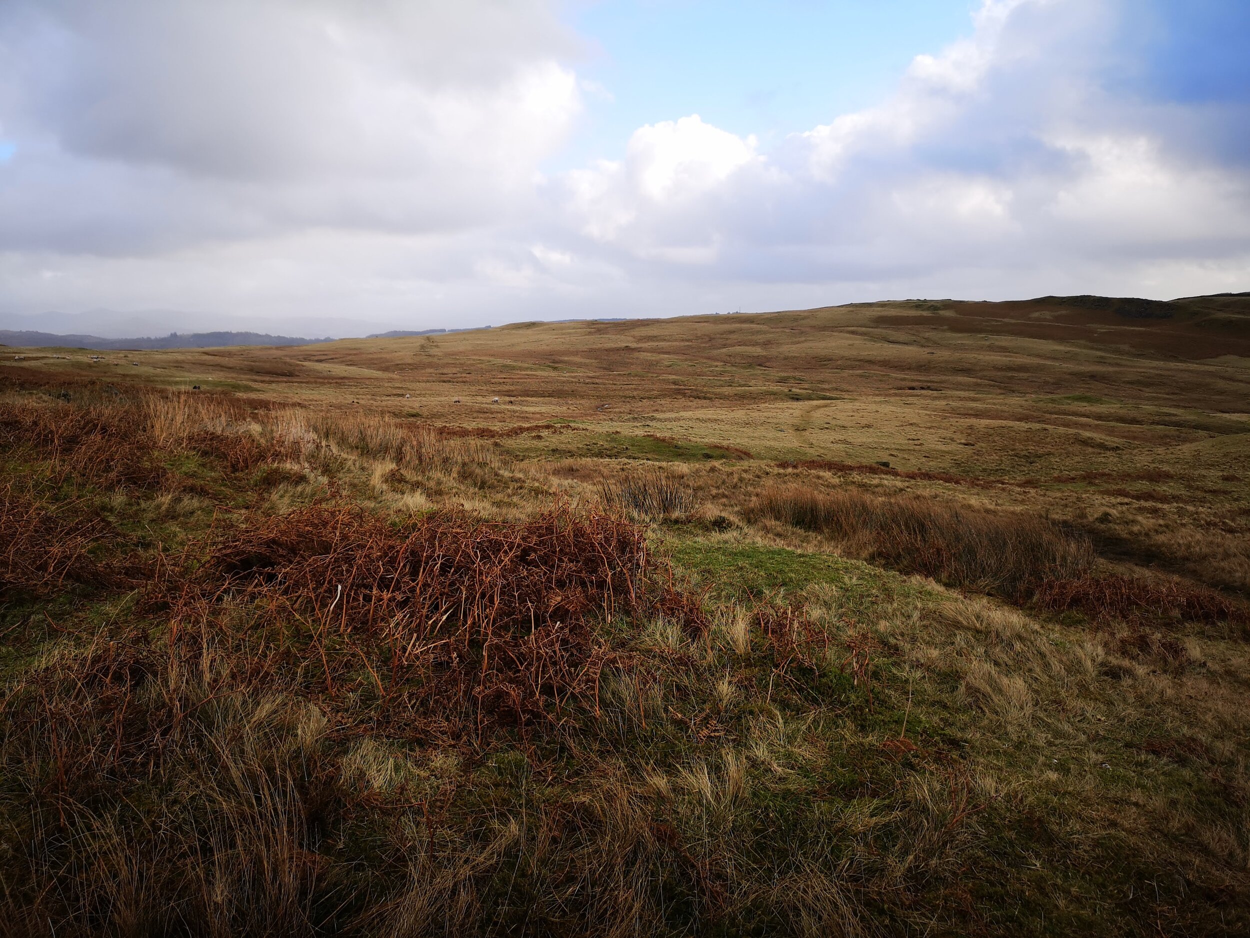
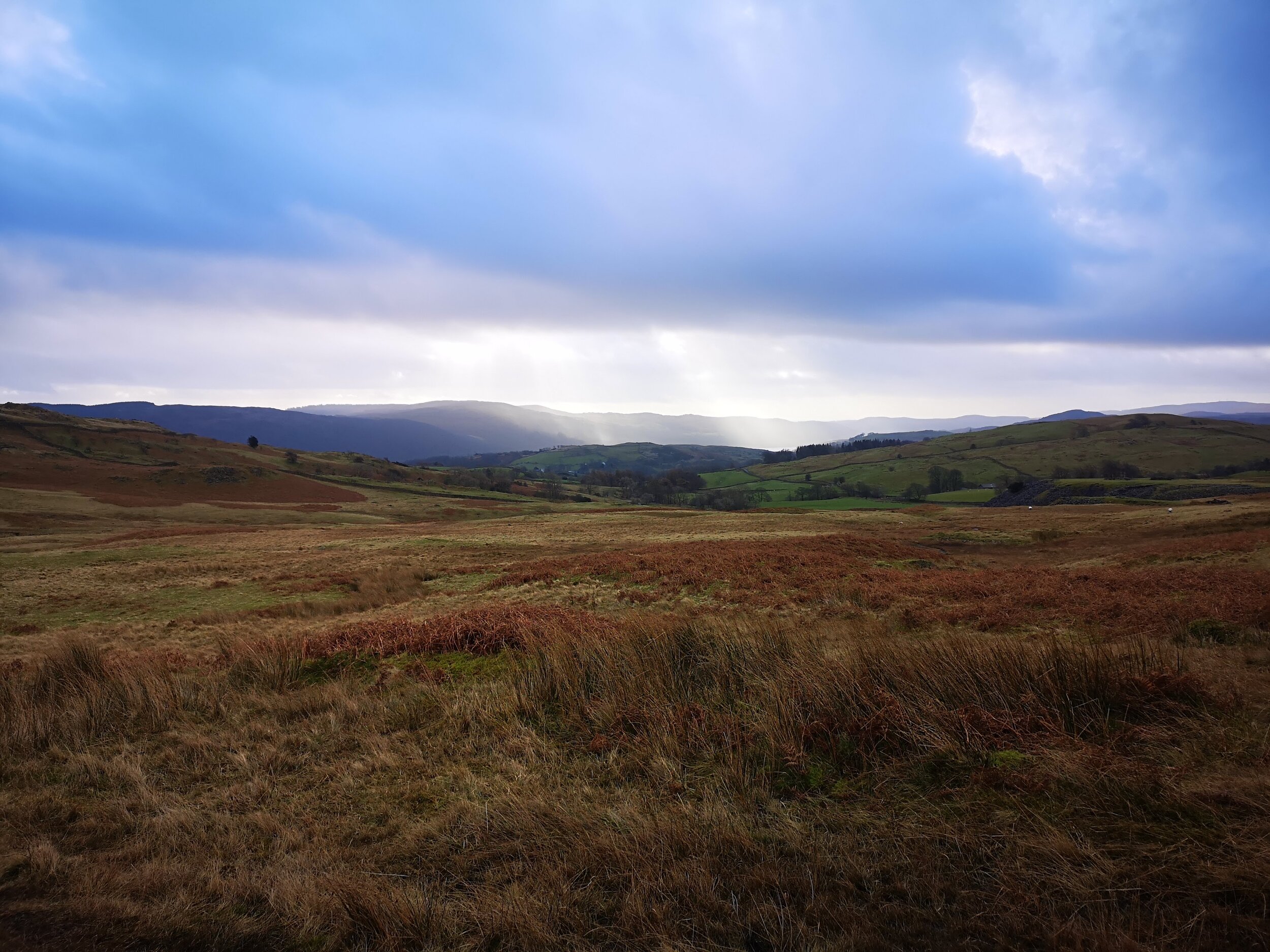
Walking in the opposite direction to the drift of people, we followed a stone wall on a quiet path over the windy moors. We were treated to the sight of Coniston water, before turning right. Here the path flowed across and into the moorland proper as we walked under the shadow of the mountain. There was no definite path after so long, so we followed View Ranger’s track as close as possible, sometimes meandering for an easier line in the spongy grass.
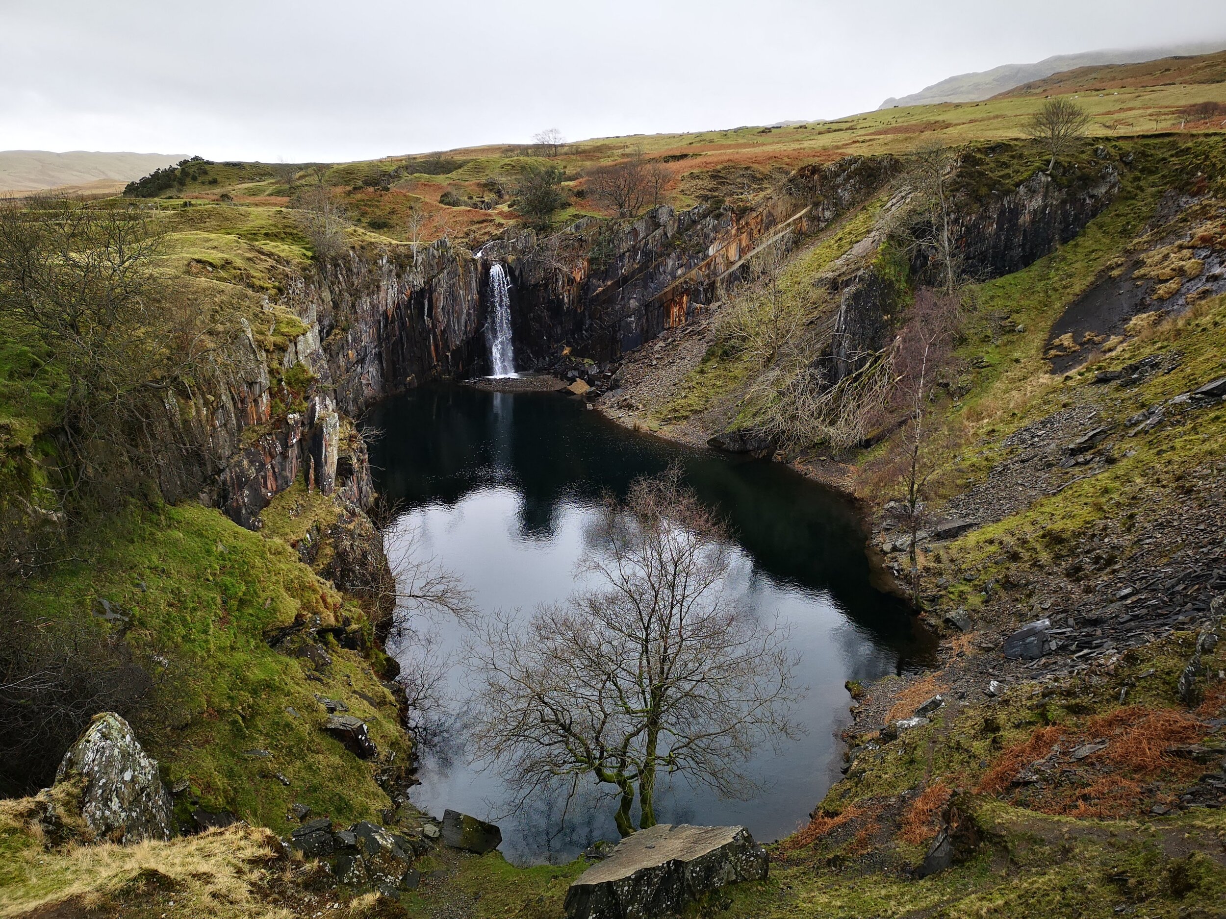
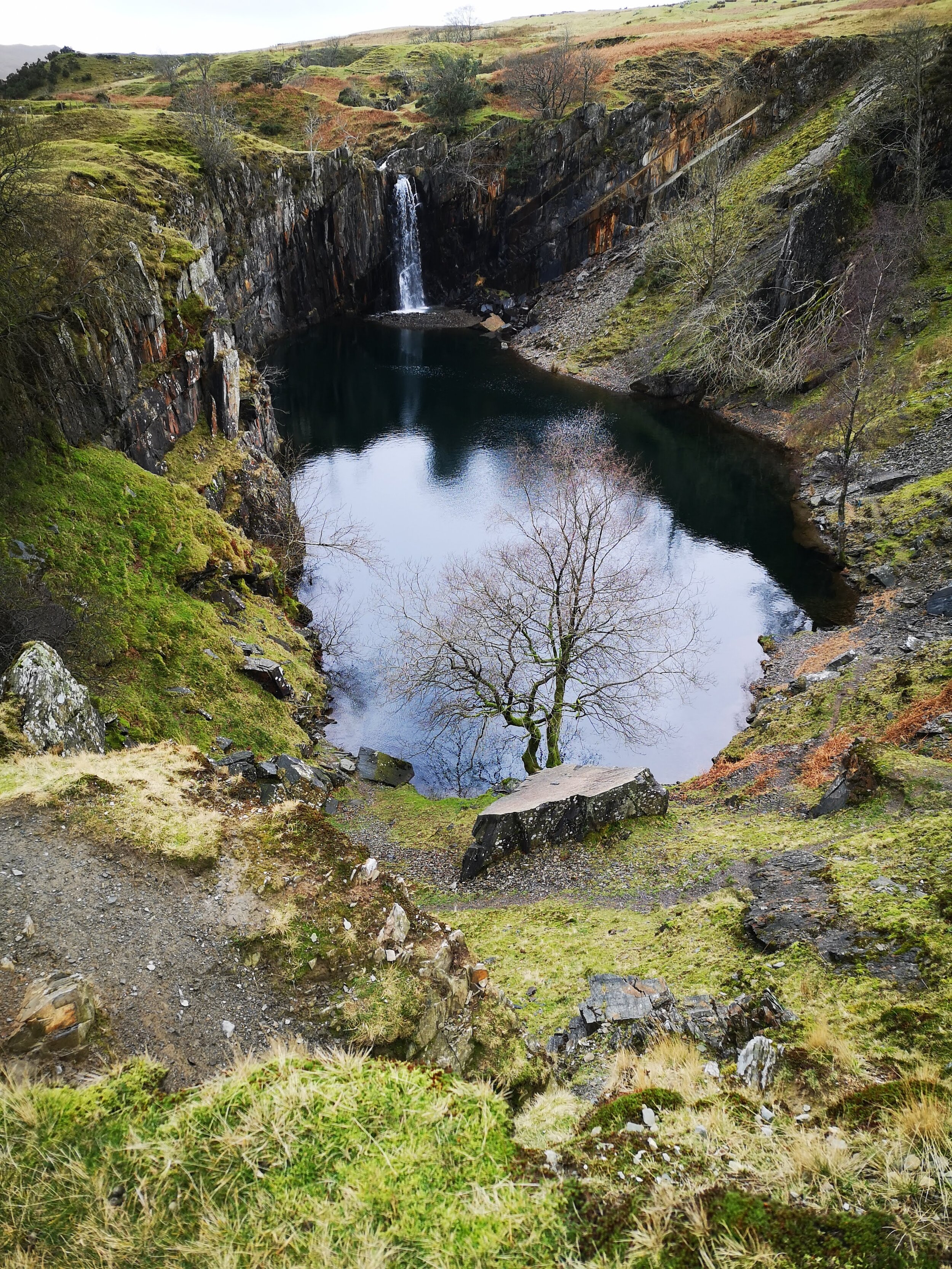
Reaching Banishead Quarry and the waterfall itself is like finding a Pearl in the sea of green. The moorland gives way to a small but deep hole in the earth, cliffed at all sides except for a small section of scree to the right of the waterfall. The clear but dark, almost black waters are beautiful, especially as it contrasted so starkly against the white of the falls.
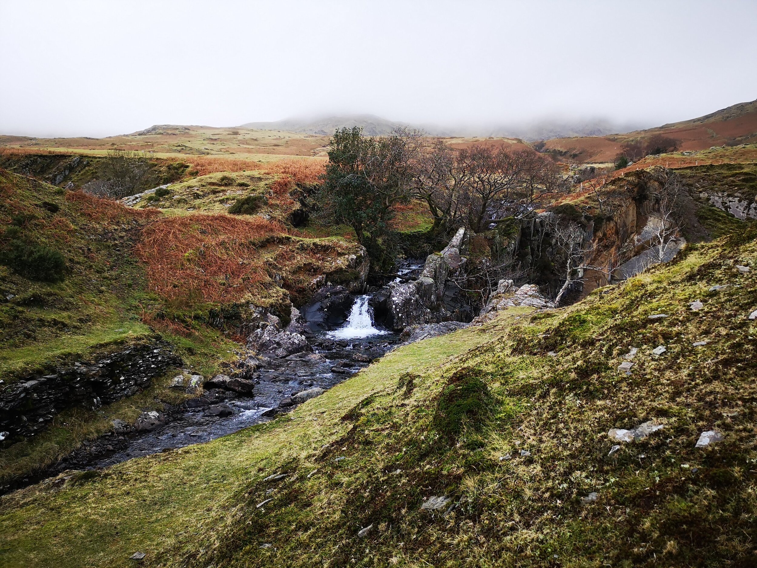
The waterfall itself was thought to have been made by a few young farm boys who worked on the rocks at the top of the beck to divert the water into the quarry. The general belief was that this would have happened anyway, but the surrounding farmers had a large job on their hands to then divert the flow of water back to the beck, to save the track from getting washed away.
A lovely memoire is found about this story at: http://www.torver.org/torver-history/banishead-quarry
Heading on up, past the quarry, and onto the base of the mountain, we followed a much clearer, stoney gravel path that carried us back to the car park.


